Medium airport · Germany
Kiel-Holtenau AirportEDHK
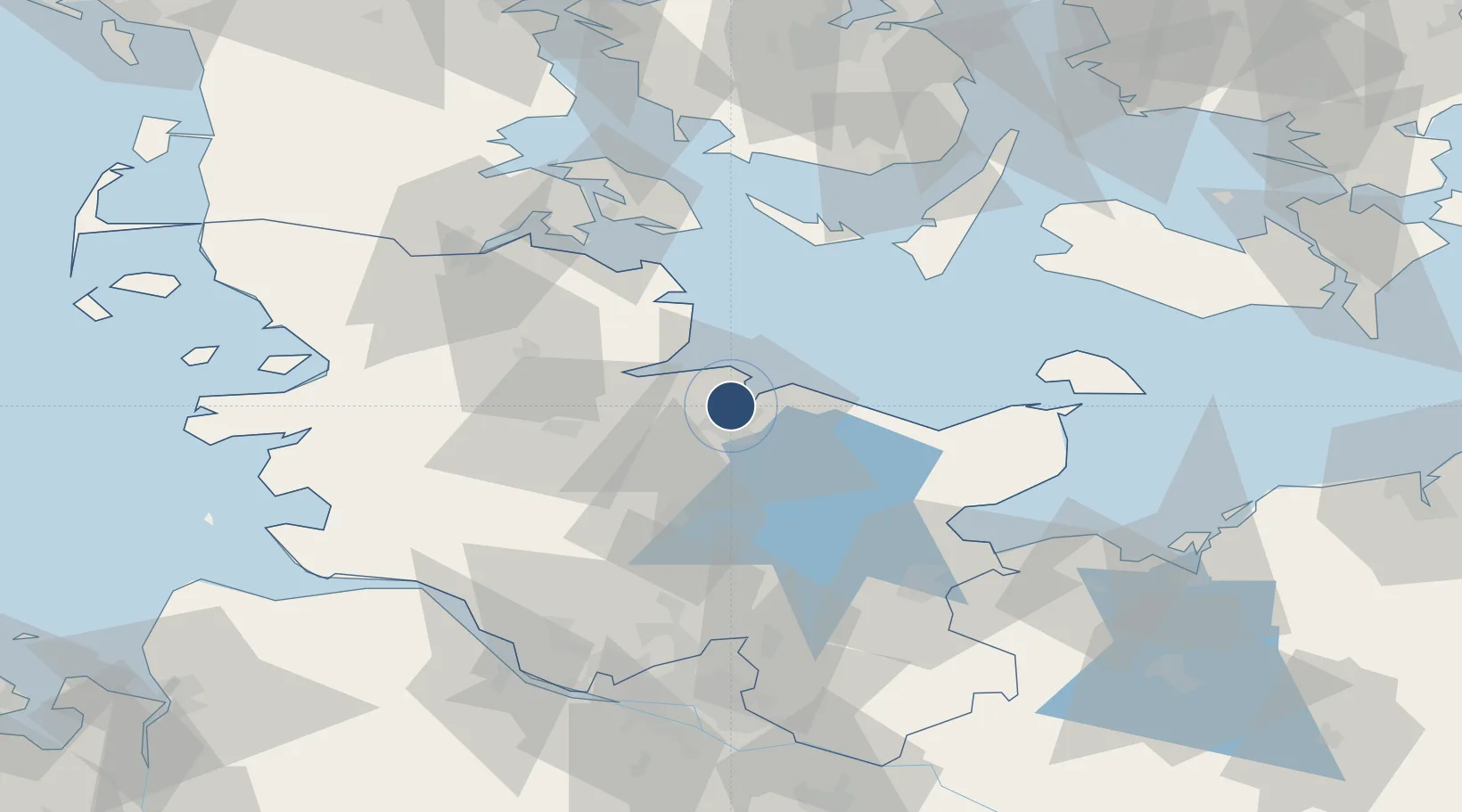
54.3796°, 10.1453°
4,134 ft
Longest runway
2
Runways
102 ft
Elevation
Runway & Layout

Radio Frequencies
GND
125.6 MHz
AFIS
125.1 MHz
Langen Information
FIS
119.96 MHz
Kiel Information
OPS
33.832 MHz
KIEL MIL
RDR
136.225 MHz
BREMEN RADAR
RMP
121.9 MHz
APRON
VOLMET
127.41 MHz
Bremen VOLMET
Navaids
KHD DME Kiel Holtenau 109.50 MHz
KIL NDB Kiel Holtenau 353 kHz
Runways · 2
| Runway | Dimensions | Surface | True heading | Lit |
|---|---|---|---|---|
| 08/26 | 4,134 × 98ft | Asphalt | 082° | ✓ |
| 08L/26R | 1,476 × 115ft | Grass | 081° | — |
Airport Specifications
IATA code
KEL
ICAO code
EDHK
Airport class
Medium airport
Scheduled service
No
Runway surface
Asphalt
Served city
Kiel
Location
Nearby Logistics Neighbours
Airports
- 1Hohn Air Base40 km
- 2Schleswig Air Base42 km
- 3Ærø Airfield56 km
- 4Sønderborg Airport69 km
- 5Lübeck Blankensee Airport74 km
Cities
- 1Kiel5 km
- 2Ellerbek6 km
- 3Kronshagen7 km
- 4Schönkirchen7 km
- 5Lilienthal13 km
Ports
- 1Kiel7 km
- 2Eckernforde23 km
- 3Rendsburg31 km
- 4Kappeln35 km
- 5Neustadt54 km
Trade Zones
DatabookThe Record of Consolidated Knowledge
Germany beyond logistics?