Medium airport · Germany
Hohn Air BaseETNH
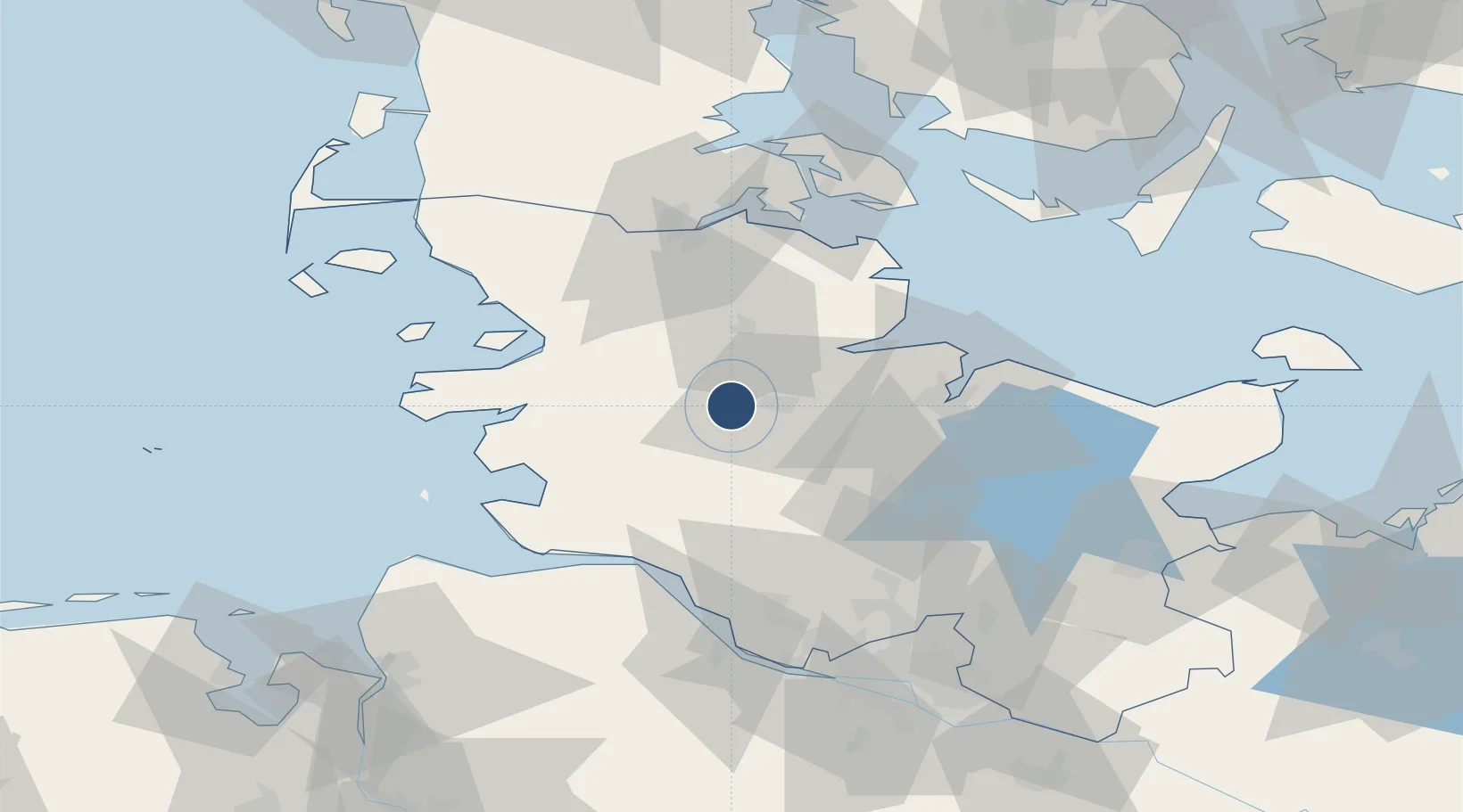
54.3122°, 9.5382°
8,005 ft
Longest runway
1
Runways
39 ft
Elevation
Runway & Layout

Radio Frequencies
TWR
122.1 MHz
ACC
136.225 MHz
BREMEN CON
RDR
38.54 MHz
RADAR
RDR
123.3 MHz
RADAR
Navaids
HN NDB Hohn 344 kHz
HNT TACAN Hohn 115.30 MHz
Runways · 1
| Runway | Dimensions | Surface | True heading | Lit |
|---|---|---|---|---|
| 08/26 | 8,005 × 98ft | Concrete | 079° | ✓ |
Airport Specifications
ICAO code
ETNH
Airport class
Medium airport
Scheduled service
No
Runway surface
Concrete
Served city
Hohn
Location
Nearby Logistics Neighbours
Airports
- 1Schleswig Air Base16 km
- 2Kiel-Holtenau Airport40 km
- 3Heide-Büsum Airport45 km
- 4Sønderborg Airport74 km
- 5Uetersen-Heist Airfield75 km
Cities
- 1Elsdorf-Westermühlen5 km
- 2Kollund Mole6 km
- 3Büdelsdorf7 km
- 4Obereiderhafen8 km
- 5Eiderdeich10 km
Ports
- 1Rendsburg10 km
- 2Eckernforde27 km
- 3Husum37 km
- 4Kiel39 km
- 5Itzehoe44 km
Trade Zones
DatabookThe Record of Consolidated Knowledge
Germany beyond logistics?