Seaport · Germany

LubeckDELBC

53.8833°, 10.7000°
7.9 m
Channel depth
30.0
Port liner connectivity
Lubeck is also a UN/LOCODE logistics hub →

Channel & Berth Profile

SEA LEVEL (CD)CHANNEL BEDChannel · 7.9 mCargo pier · 7.9 mAnchorage · 12.5 m
NGA World Port Index

Pilotage, Tugs & Services

Pilotage compulsoryYES
Pilotage availableYES
Pilotage advisableYES
Tug assistanceYES
Potable waterYES
MedicalYES
Garbage disposalYES
NGA World Port Index

Facilities & Capabilities

ContainerYES
Ro-RoYES
Liquid bulkYES
Dry bulkYES
Oil terminalNO
Break bulkYES
Dry dockNO
RepairsNO
Bunkering
Rail linkYES
Dangerous cargo
ISPS security
NGA World Port Index

Harbour Specifications

Harbour size
Medium
NGA World Port Index
Harbour type
Canal or Lake
NGA World Port Index
Shelter
Good
NGA World Port Index
Water body
Baltic Sea; North Atlantic Ocean
NGA World Port Index
Overhead limit
Yes
NGA World Port Index
Pilotage
Yes
NGA World Port Index

Liner Connectivity

30
PLSCI

Port Liner Shipping Connectivity Index for Lubeck, as published by UNCTAD for the latest available quarter. Higher values indicate stronger scheduled liner-shipping integration.

Shown relative to the highest per-port PLSCI in the dataset (1,657.9).
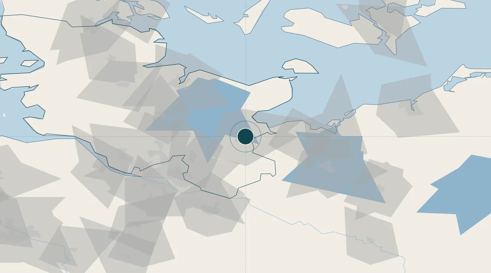
UNCTAD · Port Liner Shipping Connectivity Index

Location

Location of DELBC
Natural Earth 10m (public domain) · Schleswig-Holstein · DELBC · 53.88, 10.70GoogleOSMYandex

Nearby Logistics Neighbours

Ports
  1. 1Lubeck-Travemunde15 km
  2. 2Neustadt25 km
  3. 3Wismar50 km
  4. 4Heiligenhafen57 km
  5. 5Kiel61 km
Nearest neighbours — logibook spatial index (haversine) over the source coordinates
Cities
  1. 1Hamberge10 km
  2. 2Gross Grönau10 km
  3. 3Selmsdorf11 km
  4. 4Scharbeutz15 km
  5. 5Niendorf Ostsee15 km
Nearest neighbours — logibook spatial index (haversine) over the source coordinates
Airports
  1. 1Lübeck Blankensee Airport9 km
  2. 2Hamburg Helmut Schmidt Airport55 km
  3. 3Kiel-Holtenau Airport66 km
  4. 4Hamburg-Finkenwerder Airport69 km
  5. 5Uetersen-Heist Airfield71 km
Nearest neighbours — logibook spatial index (haversine) over the source coordinates
Trade Zones
  1. 1Freeport of Kiel61 km
  2. 2Freeport of Cuxhaven (Freihafen Cuxhaven)140 km
  3. 3Freeport of Bremerhaven (Freihafen Bremerhaven)155 km
  4. 4Swinoujscie Duty Free Zone234 km
  5. 5Freeport of Copenhagen- Nordhavn237 km
Nearest neighbours — logibook spatial index (haversine) over the source coordinates
DatabookThe Record of Consolidated Knowledge
Germany beyond logistics?
Browse databook

All Sources

Portsthe NGA World Port Index
Public domain (US gov)
Logistics performanceUNCTAD
CC BY 3.0 IGO
AirportsOurAirports
Public domain
LocationsUN/LOCODE
UN/LOCODE — free
Trade Zonesthe World Bank SEZ database
CC BY 4.0
Trade ZonesOpen Zone Map
CC BY
← Germany ports