Seaport · Germany

WismarDEWIS

53.9000°, 11.4667°
9.4 m
Channel depth
7.6
Port liner connectivity

Channel & Berth Profile

SEA LEVEL (CD)CHANNEL BEDCargo pier · 7.9 mChannel · 9.4 mAnchorage · 9.4 mOil terminal · 36.0 m
NGA World Port Index

Pilotage, Tugs & Services

Pilotage compulsoryYES
Pilotage availableYES
Tug assistanceYES
Potable waterYES
Diesel bunkersYES
MedicalYES
Garbage disposalYES
NGA World Port Index

Facilities & Capabilities

ContainerYES
Ro-RoYES
Liquid bulkYES
Dry bulkYES
Oil terminalNO
Break bulkYES
Dry dockNO
RepairsNO
BunkeringYES
Rail linkYES
Dangerous cargo
ISPS security
NGA World Port Index

Harbour Specifications

Harbour size
Small
NGA World Port Index
Harbour type
Coastal (Natural)
NGA World Port Index
Shelter
Good
NGA World Port Index
Water body
Baltic Sea; North Atlantic Ocean
NGA World Port Index
Tidal range
3 m
NGA World Port Index
Pilotage
Yes
NGA World Port Index

Liner Connectivity

7.6
PLSCI

Port Liner Shipping Connectivity Index for Wismar, as published by UNCTAD for the latest available quarter. Higher values indicate stronger scheduled liner-shipping integration.

Shown relative to the highest per-port PLSCI in the dataset (1,657.9).
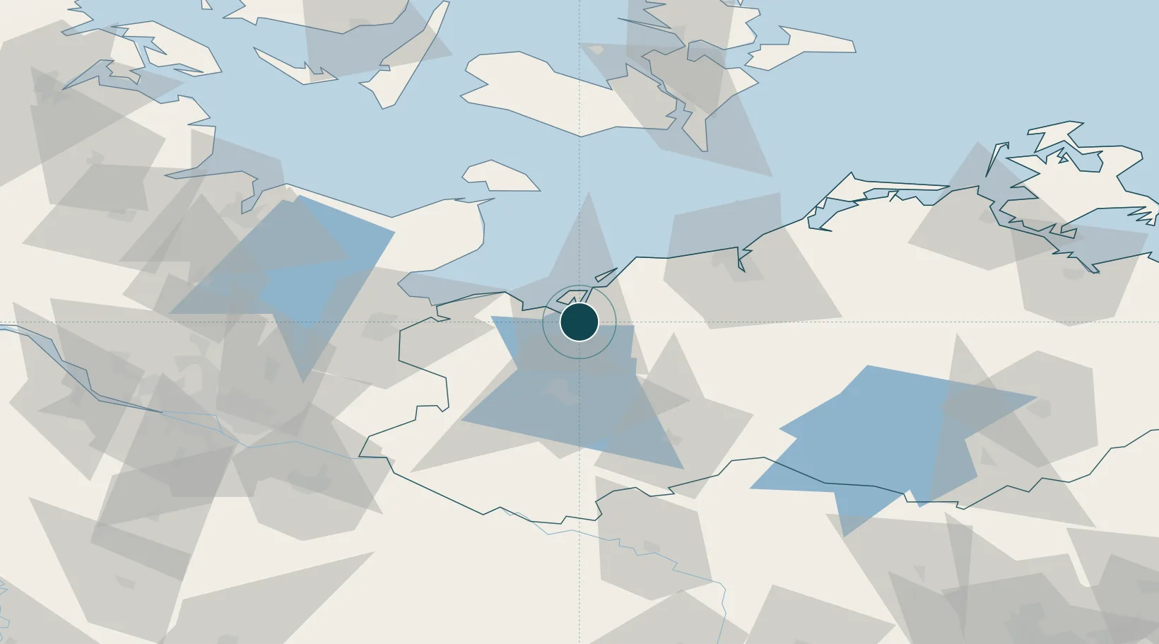
UNCTAD · Port Liner Shipping Connectivity Index

Location

Location of DEWIS
Natural Earth 10m (public domain) · Mecklenburg-Vorpommern · DEWIS · 53.90, 11.47GoogleOSMYandex

Nearby Logistics Neighbours

Ports
  1. 1Lubeck-Travemunde39 km
  2. 2Neustadt48 km
  3. 3Rostock49 km
  4. 4Lubeck50 km
  5. 5Heiligenhafen61 km
Nearest neighbours — logibook spatial index (haversine) over the source coordinates
Cities
  1. 1Wohlenberg15 km
  2. 2Grevesmühlen20 km
  3. 3Brahlstorf23 km
  4. 4Rerik24 km
  5. 5Weitendorf bei Brüel28 km
Nearest neighbours — logibook spatial index (haversine) over the source coordinates
Airports
  1. 1Lübeck Blankensee Airport50 km
  2. 2Rostock-Laage Airport53 km
  3. 3Lolland Falster Maribo Airport89 km
  4. 4Kiel-Holtenau Airport101 km
  5. 5Hamburg Helmut Schmidt Airport102 km
Nearest neighbours — logibook spatial index (haversine) over the source coordinates
Trade Zones
  1. 1Freeport of Kiel97 km
  2. 2Swinoujscie Duty Free Zone184 km
  3. 3Freeport of Cuxhaven (Freihafen Cuxhaven)190 km
  4. 4Freeport of Bremerhaven (Freihafen Bremerhaven)200 km
  5. 5Szczecin Duty Free Zone211 km
Nearest neighbours — logibook spatial index (haversine) over the source coordinates
DatabookThe Record of Consolidated Knowledge
Germany beyond logistics?
Browse databook

All Sources

Portsthe NGA World Port Index
Public domain (US gov)
Logistics performanceUNCTAD
CC BY 3.0 IGO
AirportsOurAirports
Public domain
LocationsUN/LOCODE
UN/LOCODE — free
Trade Zonesthe World Bank SEZ database
CC BY 4.0
Trade ZonesOpen Zone Map
CC BY
← Germany ports