Transport Functions
Port
Rail
Road
Multimodal
Hub Profile
Place type
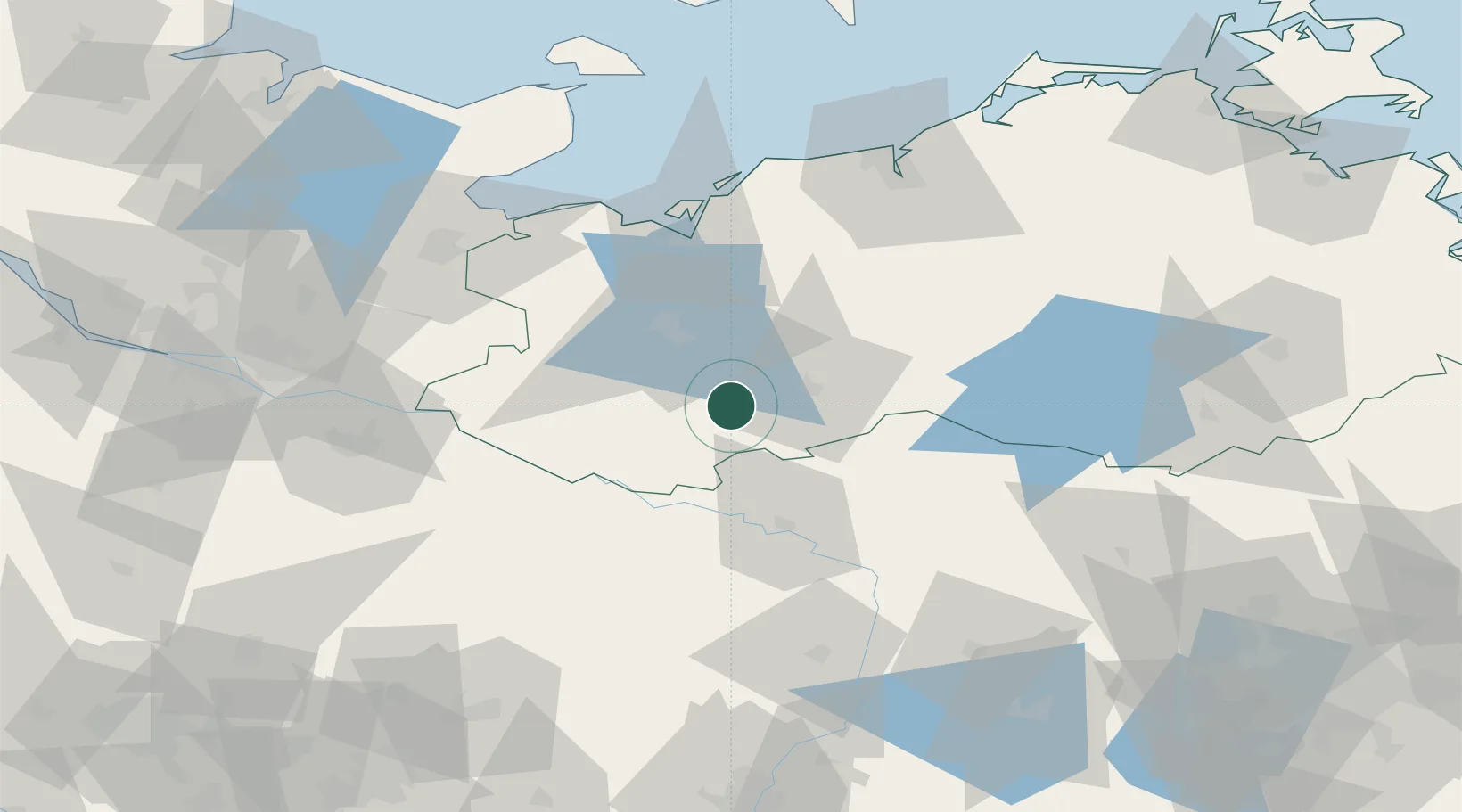
Populated place
Region
Mecklenburg-Vorpommern
Population
6,952
Time zone
Europe/Berlin
Elevation
35 m
Location
Nearby Logistics Neighbours
Ports
- 1Wismar58 km
- 2Lubeck-Travemunde80 km
- 3Lubeck81 km
- 4Rostock88 km
- 5Hamburg111 km
Airports
- 1Lübeck Blankensee Airport74 km
- 2Rostock-Laage Airport75 km
- 3Faßberg Air Base107 km
- 4Hamburg Helmut Schmidt Airport109 km
- 5Neubrandenburg Trollenhagen Airport117 km
Trade Zones
DatabookThe Record of Consolidated Knowledge
Germany beyond logistics?