Medium airport · Germany
Lübeck Blankensee AirportEDHL
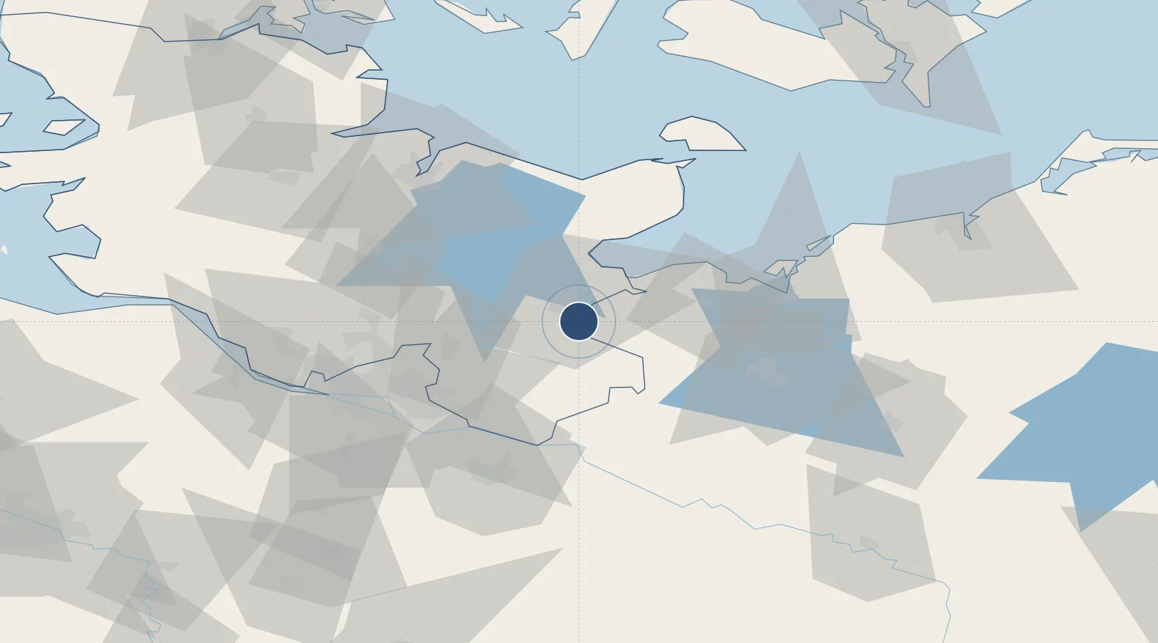
53.8054°, 10.7192°
6,896 ft
Longest runway
1
Runways
53 ft
Elevation
Runway & Layout

Radio Frequencies
ATIS
119.93 MHz
Luebeck ATIS
TWR
128.705 MHz
Luebeck Tower / Turm
GND
121.78 MHz
Luebeck Ground
AFIS
125.1 MHz
Langen Information
INFO
128.705 MHz
Luebeck Radio
RDR
124.225 MHz
BREMEN RADAR
Navaids
LUB VOR Lubeck 110.60 MHz
LUD DME Lubeck Blankensee 115.65 MHz
LYE NDB Lubeck Blankensee 394 kHz
Runways · 1
| Runway | Dimensions | Surface | True heading | Lit |
|---|---|---|---|---|
| 07/25 | 6,896 × 197ft | Asphalt | 072° | ✓ |
Airport Specifications
IATA code
LBC
ICAO code
EDHL
Airport class
Medium airport
Scheduled service
Yes
Runway surface
Asphalt
Served city
Lübeck
Location
Nearby Logistics Neighbours
Airports
- 1Hamburg Helmut Schmidt Airport52 km
- 2Hamburg-Finkenwerder Airport66 km
- 3Uetersen-Heist Airfield69 km
- 4Kiel-Holtenau Airport74 km
- 5Hohn Air Base96 km
Cities
- 1Gross Grönau2 km
- 2Hamberge9 km
- 3Lübeck10 km
- 4Selmsdorf12 km
- 5Dassow21 km
Ports
- 1Lubeck9 km
- 2Lubeck-Travemunde21 km
- 3Neustadt33 km
- 4Wismar50 km
- 5Hamburg59 km
Trade Zones
DatabookThe Record of Consolidated Knowledge
Germany beyond logistics?