Channel & Berth Profile
Pilotage, Tugs & Services
Pilotage compulsoryYES
Pilotage availableYES
Pilotage advisableYES
Local assistanceYES
Tug assistanceNO
Salvage tugsNO
Potable waterYES
Diesel bunkersYES
MedicalYES
Garbage disposalYES
Facilities & Capabilities
ContainerNO
Ro-RoNO
Liquid bulkNO
Dry bulkYES
Oil terminalNO
Break bulkYES
Dry dock—
RepairsNO
BunkeringYES
Rail linkYES
Dangerous cargo—
ISPS security—
Harbour Specifications
Harbour size
Very Small
Harbour type
Coastal (Breakwater)
Shelter
Good
Water body
Baltic Sea; North Atlantic Ocean
Overhead limit
Yes
Pilotage
Yes
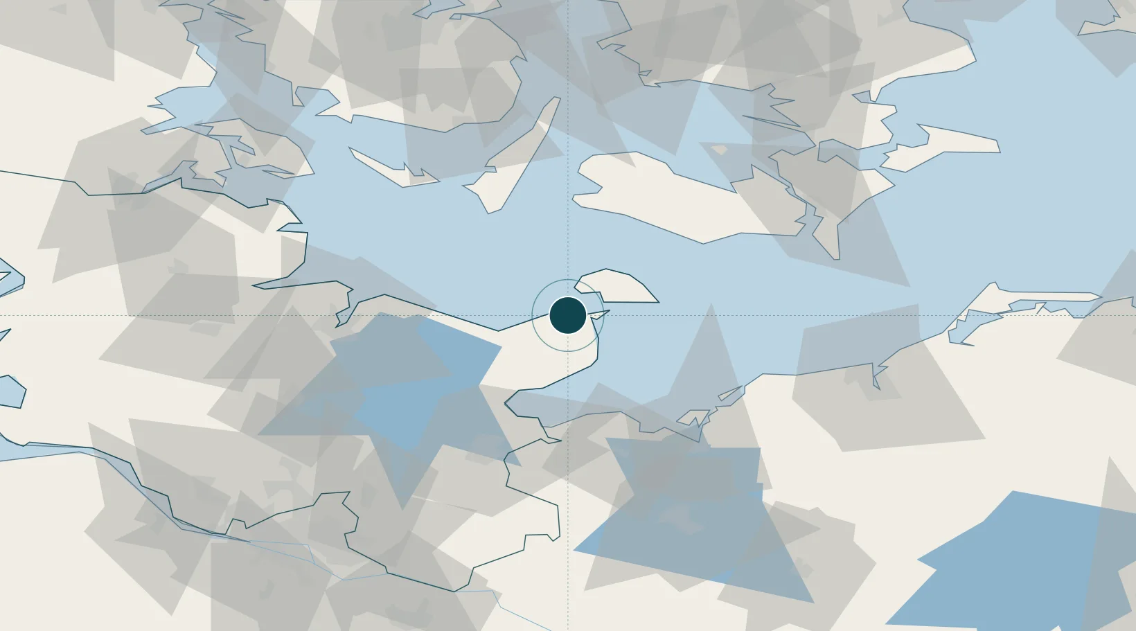
Location
Nearby Logistics Neighbours
Ports
- 1Orth10 km
- 2Neustadt32 km
- 3Rodby Havn39 km
- 4Lubeck-Travemunde45 km
- 5Nakskov53 km
Cities
- 1Grossenbrode7 km
- 2Oldenburg in Holstein10 km
- 3Lutjenburg26 km
- 4Altenkrempe28 km
- 5Neustadt in Holstein32 km
Airports
- 1Lolland Falster Maribo Airport47 km
- 2Kiel-Holtenau Airport54 km
- 3Ærø Airfield64 km
- 4Lübeck Blankensee Airport65 km
- 5Sydfyn (Tasinge) Airfield77 km
Trade Zones
DatabookThe Record of Consolidated Knowledge
Germany beyond logistics?