Free Trade Zone · Denmark
Freeport of Copenhagen- Nordhavn Inactive
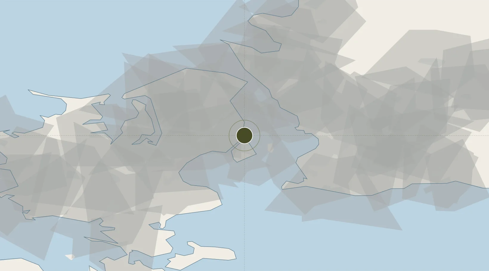
55.7149°, 12.6018°
200 ha
Zone area
1.2 km
Nearest port
2.6 km
Nearest airport
Gateway access
Zone profile
Zone type
Free Trade Zone
Region
Hovedstaden
Status
Inactive
Management
Public-Private Partnership
Operator
Copenhagen-Malmo Port
Legal framework
Article §29, Law No. 551 of June 6 2007
Location
Nearby Logistics Neighbours
Ports
- 1Tuborg1 km
- 2Kobenhavn2 km
- 3Landskrona21 km
- 4Limhamn24 km
- 5Malmo26 km
Airports
- 1København Vandflyveplads3 km
- 2Copenhagen Kastrup Airport11 km
- 3Copenhagen Roskilde Airport33 km
- 4Malmö Sturup Airport53 km
- 5Ljungbyhed Airfield56 km
Cities
- 1Nordhavn0 km
- 2Dyssegard5 km
- 3Skovshoved6 km
- 4Rødovre8 km
- 5Vanløse8 km
Trade Zones
- 1MTS Malmö Transport and Spedition33 km
- 2Freeport of Kiel218 km
- 3Gothenburg Boundless Customs Warehouse227 km
- 4Swinoujscie Duty Free Zone229 km
- 5Jönköping Free Zone246 km
DatabookThe Record of Consolidated Knowledge
Denmark beyond logistics?