UN/LOCODE hub · Germany
DENHO

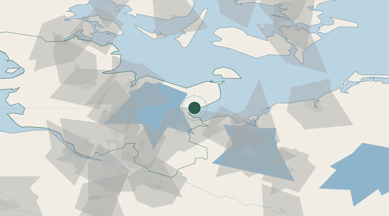
Neustadt in Holstein

54.1000°, 10.8167°
16,176
Population
3
Transport functions

Transport Functions

Port
Rail
Road
UN/LOCODE

Hub Profile

Place type
Populated place
GeoNames
Region
Schleswig-Holstein
GeoNames
Population
16,176
GeoNames
Time zone
Europe/Berlin
GeoNames
Elevation
11 m
GeoNames

Location

Location of DENHO
Natural Earth 10m (public domain) · Schleswig-Holstein · DENHO · 54.10, 10.82GoogleOSMYandex

Nearby Logistics Neighbours

Cities
  1. 1Altenkrempe4 km
  2. 2Scharbeutz11 km
  3. 3Niendorf Ostsee11 km
  4. 4Ahrensboek18 km
  5. 5Ahrensbök18 km
Nearest neighbours — logibook spatial index (haversine) over the source coordinates
Ports
  1. 1Neustadt0 km
  2. 2Lubeck-Travemunde16 km
  3. 3Lubeck25 km
  4. 4Heiligenhafen32 km
  5. 5Orth42 km
Nearest neighbours — logibook spatial index (haversine) over the source coordinates
Airports
  1. 1Lübeck Blankensee Airport33 km
  2. 2Kiel-Holtenau Airport54 km
  3. 3Hamburg Helmut Schmidt Airport75 km
  4. 4Lolland Falster Maribo Airport78 km
  5. 5Hohn Air Base86 km
Nearest neighbours — logibook spatial index (haversine) over the source coordinates
Trade Zones
  1. 1Freeport of Kiel49 km
  2. 2Freeport of Cuxhaven (Freihafen Cuxhaven)150 km
  3. 3Freeport of Bremerhaven (Freihafen Bremerhaven)175 km
  4. 4Freeport of Copenhagen- Nordhavn213 km
  5. 5MTS Malmö Transport and Spedition222 km
Nearest neighbours — logibook spatial index (haversine) over the source coordinates
DatabookThe Record of Consolidated Knowledge
Germany beyond logistics?
Browse databook

All Sources

LocationsUN/LOCODE
UN/LOCODE — free
LocationsGeoNames
CC BY 4.0
Portsthe NGA World Port Index
Public domain (US gov)
AirportsOurAirports
Public domain
Trade Zonesthe World Bank SEZ database
CC BY 4.0
Trade ZonesOpen Zone Map
CC BY
← Germany locations