Large airport · Germany
Hamburg Helmut Schmidt AirportEDDH
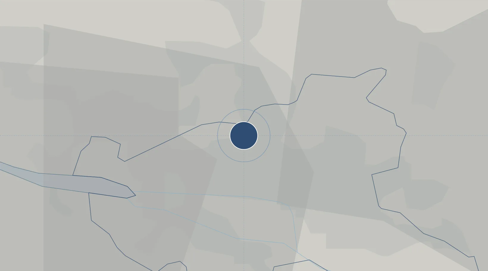
53.6304°, 9.9882°
12,028 ft
Longest runway
2
Runways
53 ft
Elevation
Runway & Layout

Radio Frequencies
ATIS
124.325 MHz
Hamburg ATIS
TWR
121.28 MHz
Hamburg Tower / Turm
TWR
126.855 MHz
Hahn Tower / Turm
GND
121.805 MHz
Hamburg Ground / Rollkontrolle
AFIS
125.1 MHz
LANGEN INFORMATION
DIR
118.2 MHz
DIRECTOR
RDR
134.25 MHz
BREMEN RADAR
RMP
121.705 MHz
Hamburg Apron / Vorfeld
Navaids
ALF DME Alster 115.80 MHz
FU NDB Hamburg West 351 kHz
GT NDB Hamburg North 323 kHz
HAM VORTAC Hamburg 113.10 MHz
HOS NDB Hamburg 339 kHz
Runways · 2
| Runway | Dimensions | Surface | True heading | Lit |
|---|---|---|---|---|
| 15/33 | 12,028 × 150ft | Asphalt | 153° | ✓ |
| 05/23 | 10,663 × 150ft | Asphalt | 050° | ✓ |
Airport Specifications
IATA code
HAM
ICAO code
EDDH
Airport class
Large airport
Scheduled service
Yes
Runway surface
Asphalt
Served city
Hamburg
Location
Nearby Logistics Neighbours
Airports
- 1Hamburg-Finkenwerder Airport15 km
- 2Uetersen-Heist Airfield19 km
- 3Lübeck Blankensee Airport52 km
- 4Faßberg Air Base80 km
- 5Hohn Air Base81 km
Cities
- 1Schnelsen5 km
- 2Hamburg-Mitte9 km
- 3Hamburg13 km
- 4Altenwerder14 km
- 5Finkenwerder14 km
Ports
- 1Hamburg10 km
- 2Butzfleth31 km
- 3Gluckstadt41 km
- 4Itzehoe44 km
- 5Lubeck55 km
Trade Zones
DatabookThe Record of Consolidated Knowledge
Germany beyond logistics?