Transport Functions
Multimodal
Hub Profile
Place type
Local administrative seat
Region
Schleswig-Holstein
Population
1,145
Time zone
Europe/Berlin
Elevation
1 m
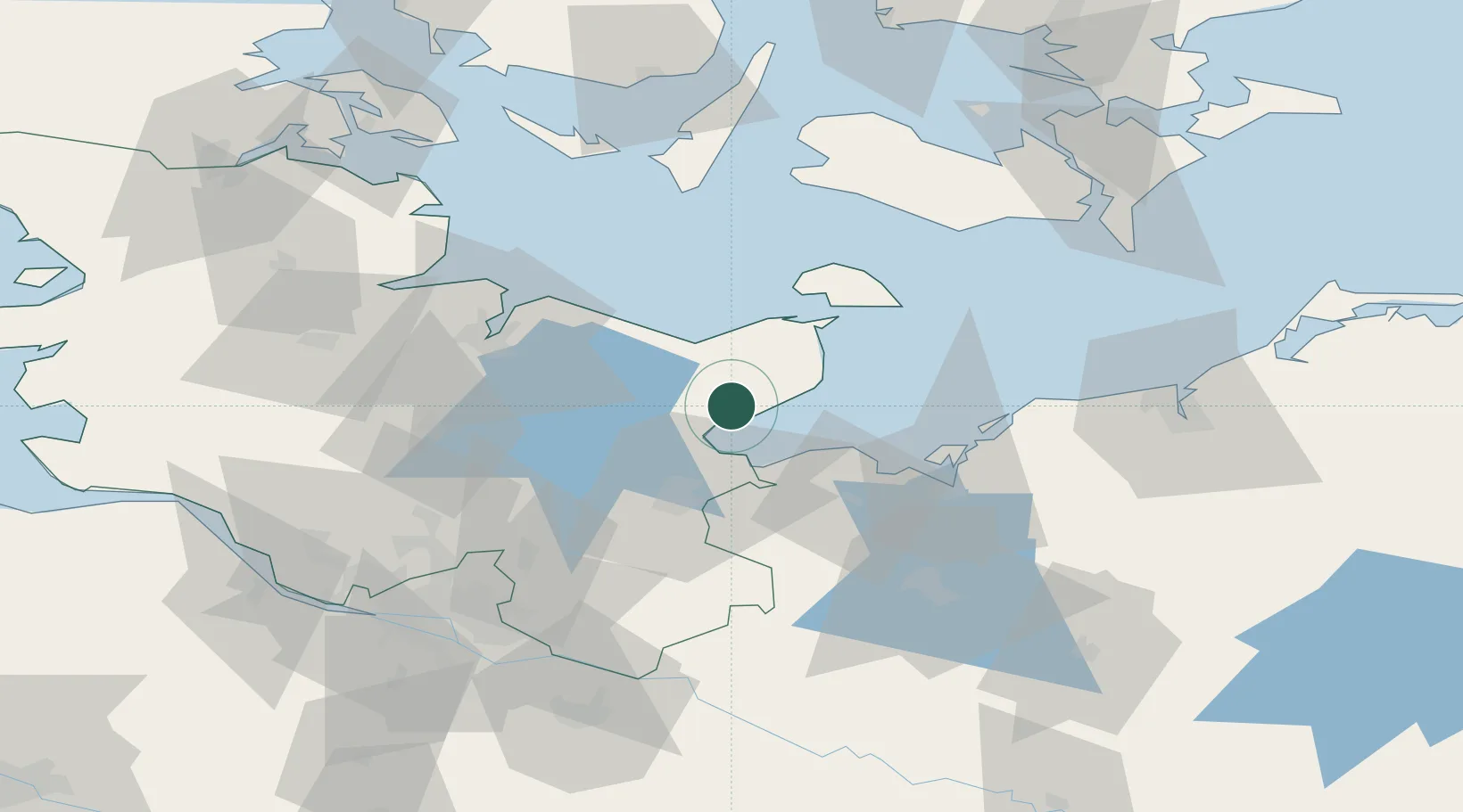
Location
Nearby Logistics Neighbours
Cities
- 1Neustadt in Holstein4 km
- 2Scharbeutz15 km
- 3Niendorf Ostsee15 km
- 4Oldenburg in Holstein19 km
- 5Malente19 km
Ports
- 1Neustadt4 km
- 2Lubeck-Travemunde19 km
- 3Heiligenhafen28 km
- 4Lubeck29 km
- 5Orth38 km
Airports
- 1Lübeck Blankensee Airport37 km
- 2Kiel-Holtenau Airport52 km
- 3Lolland Falster Maribo Airport74 km
- 4Hamburg Helmut Schmidt Airport79 km
- 5Ærø Airfield84 km
Trade Zones
DatabookThe Record of Consolidated Knowledge
Germany beyond logistics?