UN/LOCODE hub · Germany
DE64Z

Niendorf Ostsee

54.0000°, 10.8167°
2
Transport functions

Transport Functions

Port
Road
UN/LOCODE

Hub Profile

Region
SH
GeoNames

Location

Location of DE64Z
Natural Earth 10m (public domain) · SH · DE64Z · 54.00, 10.82GoogleOSMYandex

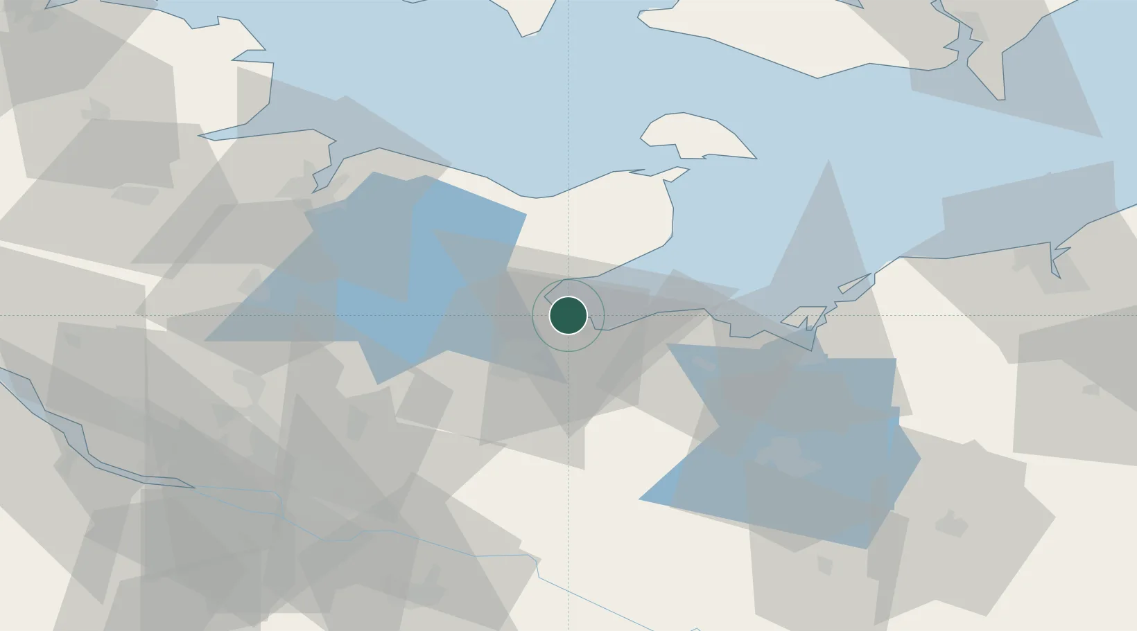
Nearby Logistics Neighbours

Cities
  1. 1Scharbeutz6 km
  2. 2Neustadt in Holstein11 km
  3. 3Lübeck13 km
  4. 4Dassow14 km
  5. 5Altenkrempe15 km
Nearest neighbours — logibook spatial index (haversine) over the source coordinates
Ports
  1. 1Lubeck-Travemunde6 km
  2. 2Neustadt11 km
  3. 3Lubeck15 km
  4. 4Heiligenhafen42 km
  5. 5Wismar44 km
Nearest neighbours — logibook spatial index (haversine) over the source coordinates
Airports
  1. 1Lübeck Blankensee Airport23 km
  2. 2Kiel-Holtenau Airport61 km
  3. 3Hamburg Helmut Schmidt Airport68 km
  4. 4Hamburg-Finkenwerder Airport83 km
  5. 5Uetersen-Heist Airfield83 km
Nearest neighbours — logibook spatial index (haversine) over the source coordinates
Trade Zones
  1. 1Freeport of Kiel56 km
  2. 2Freeport of Cuxhaven (Freihafen Cuxhaven)149 km
  3. 3Freeport of Bremerhaven (Freihafen Bremerhaven)169 km
  4. 4Freeport of Copenhagen- Nordhavn222 km
  5. 5Swinoujscie Duty Free Zone227 km
Nearest neighbours — logibook spatial index (haversine) over the source coordinates
DatabookThe Record of Consolidated Knowledge
Germany beyond logistics?
Browse databook

All Sources

LocationsUN/LOCODE
UN/LOCODE — free
Portsthe NGA World Port Index
Public domain (US gov)
AirportsOurAirports
Public domain
Trade Zonesthe World Bank SEZ database
CC BY 4.0
Trade ZonesOpen Zone Map
CC BY
← Germany locations