Channel & Berth Profile
Pilotage, Tugs & Services
Pilotage compulsoryNO
Pilotage availableYES
Tug assistanceNO
Potable waterYES
Diesel bunkersYES
Facilities & Capabilities
Container—
Ro-Ro—
Liquid bulk—
Dry bulk—
Oil terminal—
Break bulk—
Dry dock—
Repairs—
BunkeringYES
Rail linkYES
Dangerous cargo—
ISPS security—
Harbour Specifications
Harbour size
Very Small
Harbour type
Coastal (Breakwater)
Shelter
Poor
Water body
Baltic Sea; North Atlantic Ocean
Pilotage
No
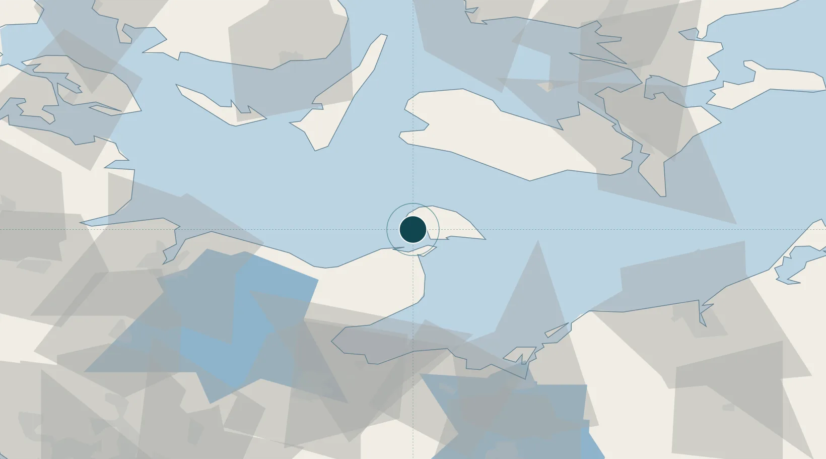
Location
Nearby Logistics Neighbours
Ports
- 1Heiligenhafen10 km
- 2Rodby Havn30 km
- 3Neustadt42 km
- 4Nakskov43 km
- 5Nysted50 km
Cities
- 1Grossenbrode8 km
- 2Oldenburg in Holstein20 km
- 3Rødbyhavn30 km
- 4Lutjenburg34 km
- 5Rødby34 km
Airports
- 1Lolland Falster Maribo Airport37 km
- 2Ærø Airfield59 km
- 3Kiel-Holtenau Airport59 km
- 4Sydfyn (Tasinge) Airfield70 km
- 5Lübeck Blankensee Airport75 km
Trade Zones
DatabookThe Record of Consolidated Knowledge
Germany beyond logistics?