Charter City · Cayman Islands

Cayman Enterprise City Active
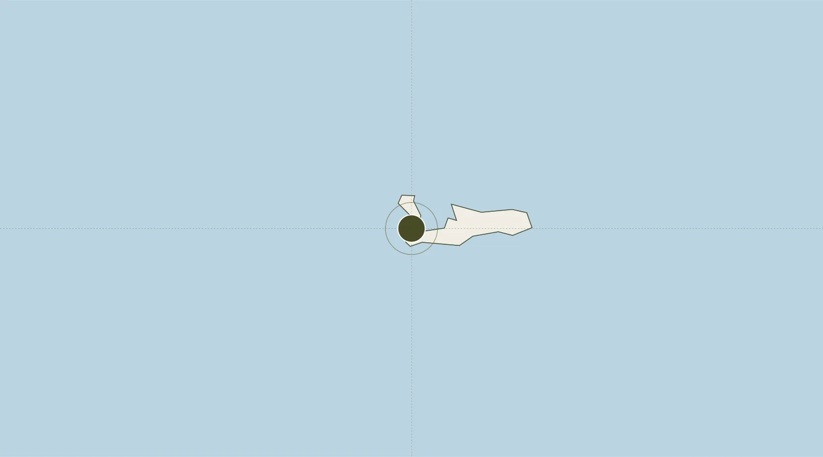
19.3079°, -81.3840°
121 ha
Zone area
0.9 km
Nearest port
3.2 km
Nearest airport

Gateway access

Nearest neighbours — logibook spatial index (haversine) over the source coordinates

Zone profile

Zone type
Charter City
Open Zone Map
Region
Cayman Islands
Open Zone Map
Status
Active
Open Zone Map
Management
Public-Private Partnership
Open Zone Map
Operator
Cayman Enterprise City
Open Zone Map
Legal framework
Special Economic Zone (SEZ) Law
Open Zone Map

Location

Location of ozm-298
Natural Earth 10m (public domain) · Cayman Islands · ozm-298 · 19.31, -81.38GoogleOSMYandex

Nearby Logistics Neighbours

Ports
  1. 1Georgetown1 km
  2. 2Cayman Brac178 km
  3. 3Casilda308 km
  4. 4Tunas De Zaza322 km
  5. 5Nueva Gerona325 km
Nearest neighbours — logibook spatial index (haversine) over the source coordinates
Airports
  1. 1Owen Roberts International Airport3 km
  2. 2Edward Bodden Little Cayman Airfield141 km
  3. 3Charles Kirkconnell International Airport163 km
  4. 4Vilo Acuña International Airport257 km
  5. 5Siguanea Airport307 km
Nearest neighbours — logibook spatial index (haversine) over the source coordinates
Cities
  1. 1Georgetown, Grand Cayman1 km
  2. 2Casilda309 km
  3. 3Tunas de Zaza322 km
  4. 4Palo Alto358 km
  5. 5Savanna-la-Mar363 km
Nearest neighbours — logibook spatial index (haversine) over the source coordinates
Trade Zones
  1. 1Cazoumar Free Zone375 km
  2. 2Montego Bay Free Zone375 km
  3. 3Jamaica-Gansu Industrial Park425 km
  4. 4Mariel Special Development Zone436 km
  5. 5Vernamfield Aerotropolis and Logistics Hub457 km
Nearest neighbours — logibook spatial index (haversine) over the source coordinates
DatabookThe Record of Consolidated Knowledge
Cayman Islands beyond logistics?
Browse databook

All Sources

Trade ZonesOpen Zone Map
CC BY
Portsthe NGA World Port Index
Public domain (US gov)
AirportsOurAirports
Public domain
LocationsUN/LOCODE
UN/LOCODE — free
← Cayman Islands trade zones