Transport Functions
Port
Road
Hub Profile
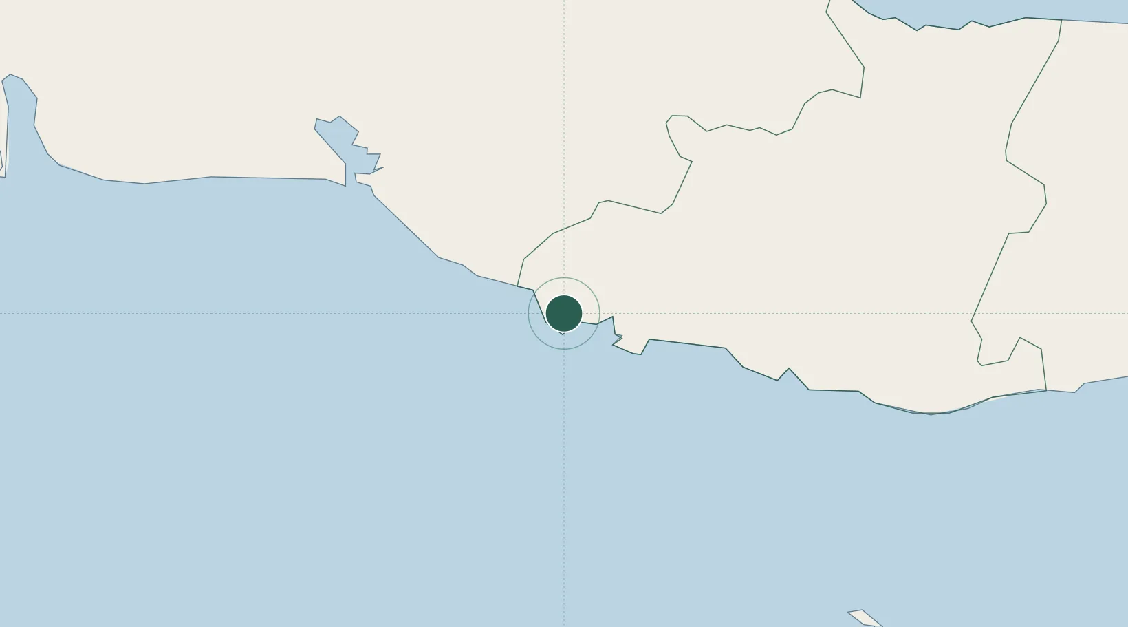
Place type
Populated place
Region
Sancti Spíritus Province
Time zone
America/Havana
Elevation
8 m
Location
Nearby Logistics Neighbours
Cities
- 1Tunas de Zaza49 km
- 2Caibarién100 km
- 3Palo Alto108 km
- 4Boqueron111 km
- 5Sagua la Grande115 km
Ports
- 1Tunas De Zaza49 km
- 2Cienfuegos63 km
- 3Caibarien101 km
- 4Palo Alto109 km
- 5Jucaro120 km
Airports
Trade Zones
- 1Cayman Enterprise City309 km
- 2Mariel Special Development Zone318 km
- 3Cazoumar Free Zone426 km
- 4Montego Bay Free Zone426 km
- 5FTZ No. 281 Miami-Dade County428 km
DatabookThe Record of Consolidated Knowledge
Cuba beyond logistics?