Channel & Berth Profile
Pilotage, Tugs & Services
Pilotage compulsoryYES
Pilotage availableYES
Pilotage advisableYES
Tug assistanceYES
Salvage tugsNO
Potable waterYES
MedicalYES
Facilities & Capabilities
Container—
Ro-RoYES
Liquid bulkYES
Dry bulkYES
Oil terminal—
Break bulkYES
Dry dock—
RepairsNO
BunkeringYES
Rail linkYES
Dangerous cargo—
ISPS securityYES
Harbour Specifications
Harbour size
Large
Harbour type
Coastal (Natural)
Shelter
Excellent
Water body
Caribbean Sea; North Atlantic Ocean
Tidal range
0.5 m
Overhead limit
No
Pilotage
Yes
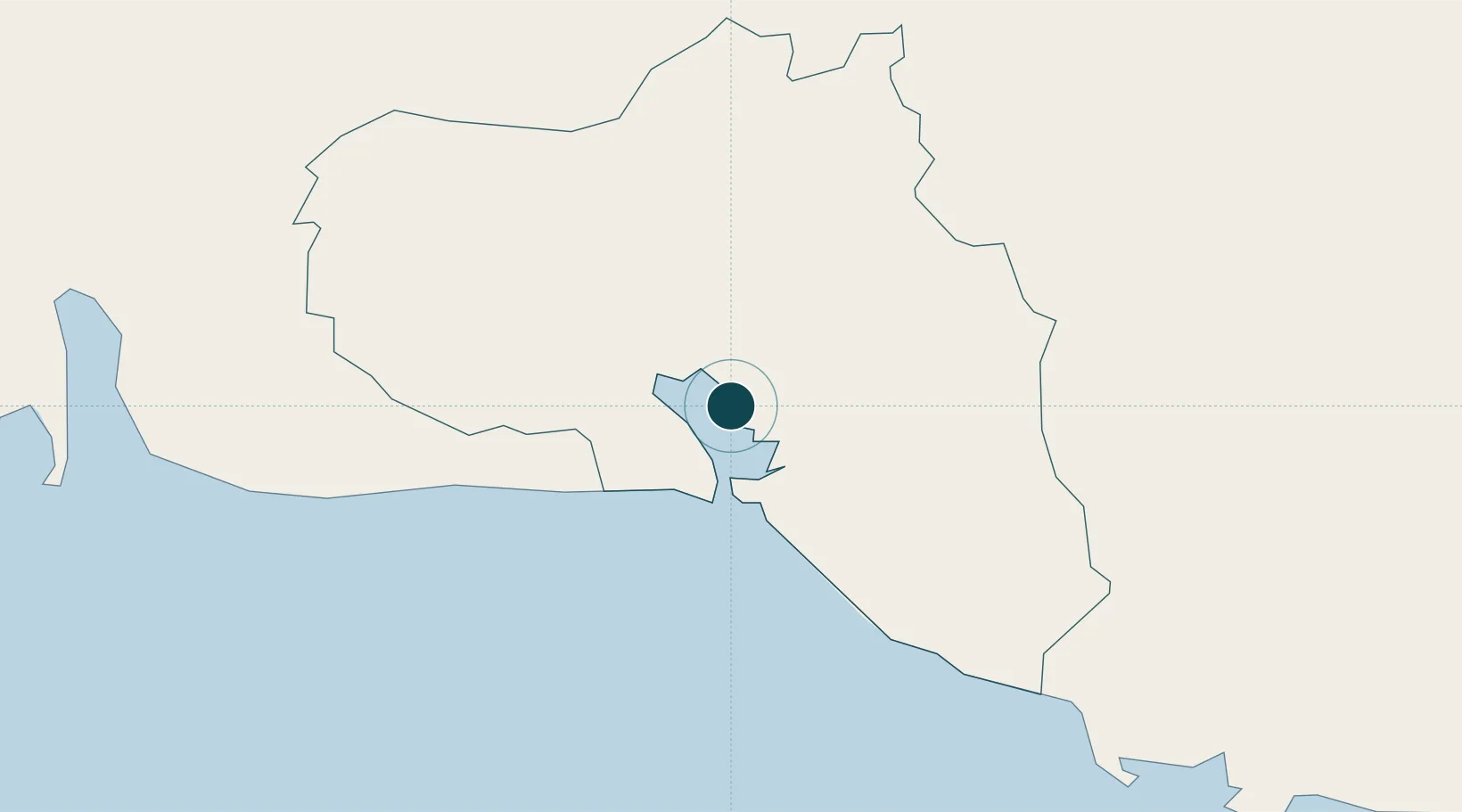
Location
Nearby Logistics Neighbours
Ports
- 1Casilda66 km
- 2Isabela De Sagua100 km
- 3Tunas De Zaza109 km
- 4Caibarien110 km
- 5Cardenas126 km
Cities
- 1Casilda63 km
- 2Sagua la Grande82 km
- 3Caibarién109 km
- 4Tunas de Zaza109 km
- 5Cárdenas125 km
Airports
Trade Zones
- 1Mariel Special Development Zone258 km
- 2Cayman Enterprise City331 km
- 3FTZ No. 281 Miami-Dade County380 km
- 4FTZ No. 032 Miami405 km
- 5FTZ No. 180 Miami (Wynwood)407 km
DatabookThe Record of Consolidated Knowledge
Cuba beyond logistics?