Medium airport · Cuba

Jaime Gonzalez AirportMUCF
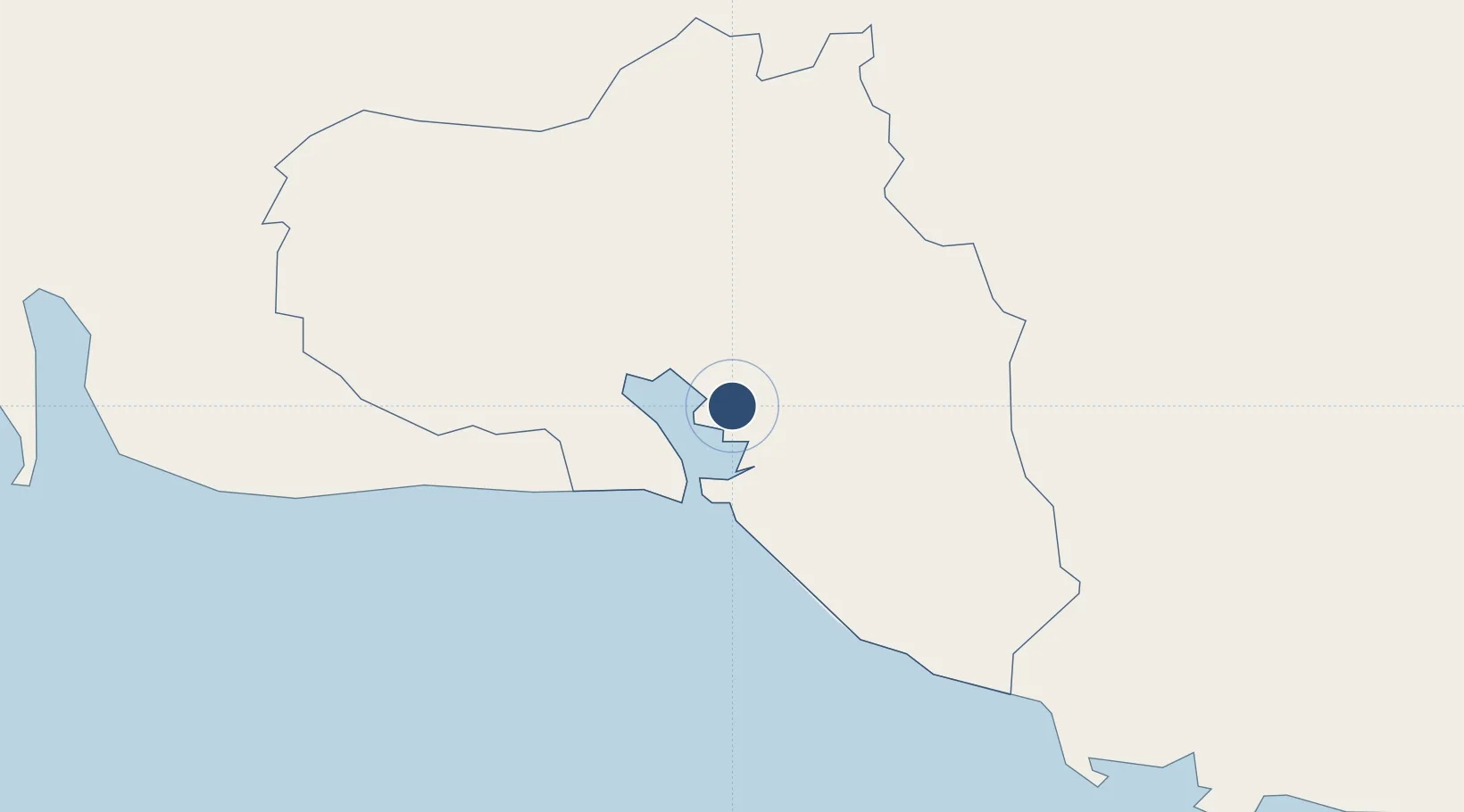
22.1500°, -80.4142°
7,874 ft
Longest runway
1
Runways
102 ft
Elevation

Runway & Layout

Jaime Gonzalez Airport runway & taxiway layout
Runway & taxiway layout — OpenStreetMap (ODbL) / OurAirports

Radio Frequencies

TWR
118.9 MHz
CIENFUEGOS TWR
A/G
340.7 MHz
CIENFUEGOS RDO
OurAirports

Navaids

UCF VOR-DME Cienfuegos 112.30 MHz
UCF NDB Cienfuegos 212 kHz
OurAirports

Runways · 1

RunwayDimensions SurfaceTrue headingLit
02/20 7,874 × 148ft Asphalt 016°
OurAirports

Airport Specifications

IATA code
CFG
OurAirports
ICAO code
MUCF
OurAirports
Airport class
Medium airport
OurAirports
Scheduled service
Yes
OurAirports
Runway surface
Asphalt
OurAirports
Served city
Cienfuegos
OurAirports

Location

Location of MUCF
Natural Earth 10m (public domain) · Cienfuegos · MUCF · 22.15, -80.41GoogleOSMYandex

Nearby Logistics Neighbours

Airports
  1. 1Alberto Delgado Airport59 km
  2. 2Abel Santamaria International Airport62 km
  3. 3Vilo Acuña International Airport131 km
  4. 4Kawama Airport142 km
  5. 5Juan Gualberto Gomez International Airport144 km
Nearest neighbours — logibook spatial index (haversine) over the source coordinates
Cities
  1. 1Casilda60 km
  2. 2Sagua la Grande81 km
  3. 3Caibarién106 km
  4. 4Tunas de Zaza106 km
  5. 5Cárdenas127 km
Nearest neighbours — logibook spatial index (haversine) over the source coordinates
Ports
  1. 1Cienfuegos4 km
  2. 2Casilda63 km
  3. 3Isabela De Sagua99 km
  4. 4Tunas De Zaza106 km
  5. 5Caibarien106 km
Nearest neighbours — logibook spatial index (haversine) over the source coordinates
Trade Zones
  1. 1Mariel Special Development Zone262 km
  2. 2Cayman Enterprise City332 km
  3. 3FTZ No. 281 Miami-Dade County380 km
  4. 4FTZ No. 032 Miami405 km
  5. 5FTZ No. 180 Miami (Wynwood)407 km
Nearest neighbours — logibook spatial index (haversine) over the source coordinates
DatabookThe Record of Consolidated Knowledge
Cuba beyond logistics?
Browse databook

All Sources

AirportsOurAirports
Public domain
Portsthe NGA World Port Index
Public domain (US gov)
LocationsUN/LOCODE
UN/LOCODE — free
Trade Zonesthe World Bank SEZ database
CC BY 4.0
Trade ZonesOpen Zone Map
CC BY
InfrastructureOpenStreetMap
ODbL 1.0
← Cuba airports