Transport Functions
Port
Rail
Road
Hub Profile
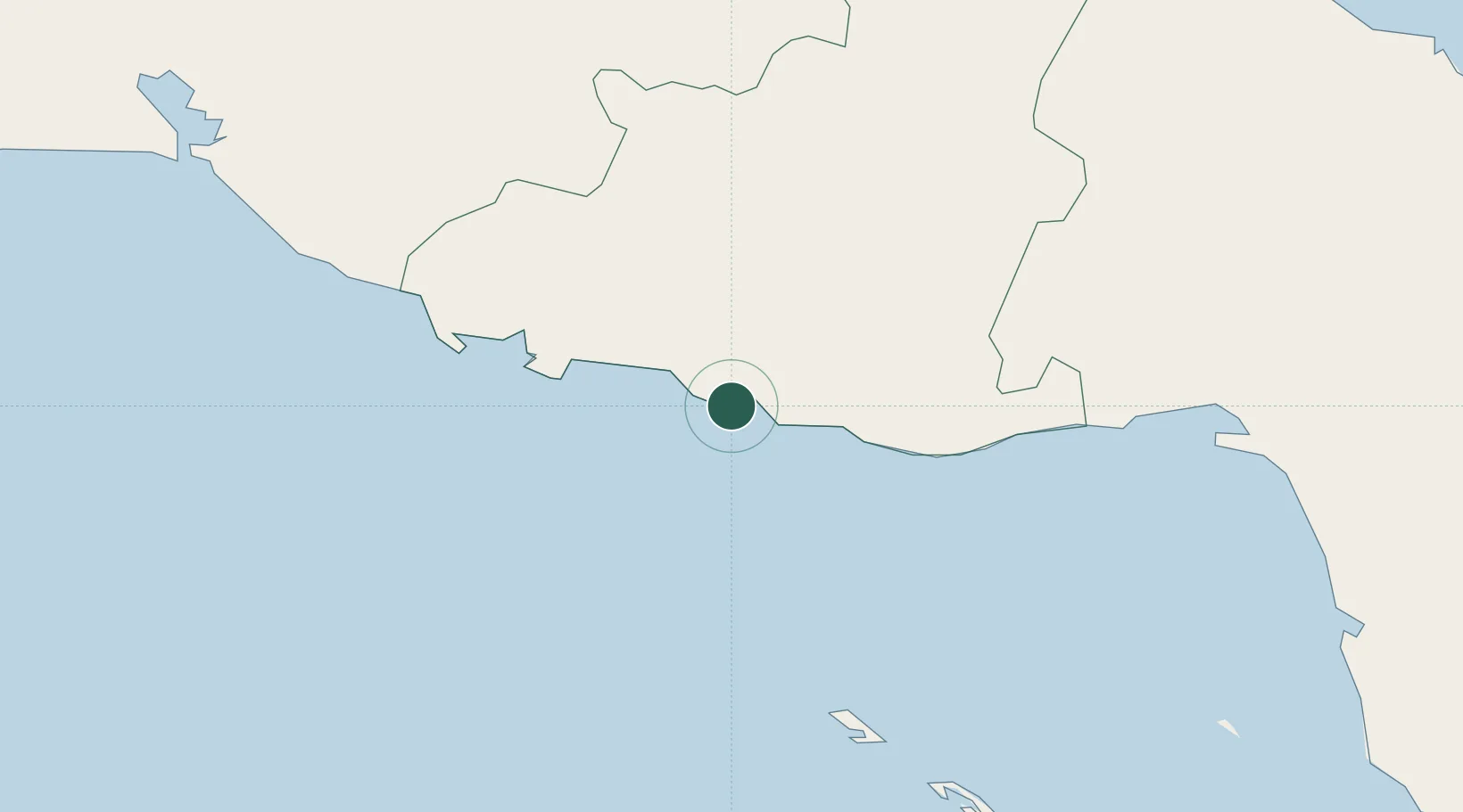
Place type
Populated place
Region
Sancti Spíritus Province
Time zone
America/Havana
Elevation
3 m
Location
Nearby Logistics Neighbours
Cities
- 1Casilda49 km
- 2Palo Alto60 km
- 3Júcaro72 km
- 4Boqueron81 km
- 5Boca Grande92 km
Ports
- 1Casilda47 km
- 2Palo Alto61 km
- 3Jucaro72 km
- 4Caibarien100 km
- 5Cienfuegos109 km
Airports
- 1Alberto Delgado Airport49 km
- 2Máximo Gómez Airport90 km
- 3Abel Santamaria International Airport104 km
- 4Jaime Gonzalez Airport106 km
- 5Jardines Del Rey Airport156 km
Trade Zones
- 1Cayman Enterprise City322 km
- 2Mariel Special Development Zone366 km
- 3Cazoumar Free Zone391 km
- 4Montego Bay Free Zone391 km
- 5FTZ No. 281 Miami-Dade County453 km
DatabookThe Record of Consolidated Knowledge
Cuba beyond logistics?