Transport Functions
Port
Airport
Hub Profile
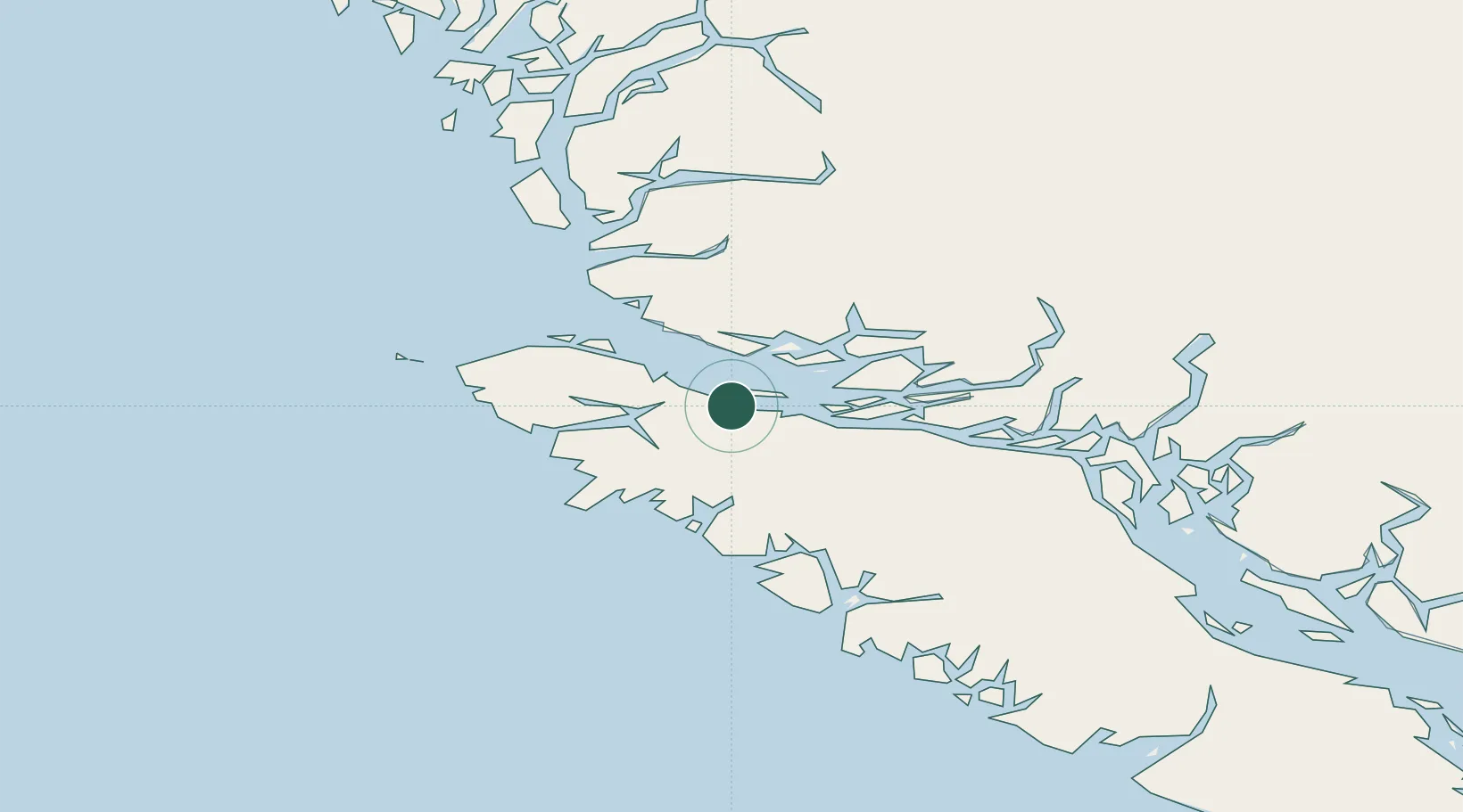
Place type
Populated place
Region
British Columbia
Population
2,234
Time zone
America/Vancouver
Elevation
10 m
Location
Nearby Logistics Neighbours
Cities
- 1Beaver Cove18 km
- 2Coal Harbour34 km
- 3Sayward88 km
- 4Campbell River146 km
- 5Denman Island200 km
Ports
- 1Alert Bay12 km
- 2Port Alice33 km
- 3Coal Harbor34 km
- 4Tahsis80 km
- 5Gold River122 km
Airports
- 1Port McNeill Airport5 km
- 2Alert Bay Airport13 km
- 3Port Hardy Airport22 km
- 4Greenway Sound Seaplane Base37 km
- 5Sullivan Bay Seaplane Base39 km
Trade Zones
- 1FTZ Vancouver Island322 km
- 2FTZ No. 128 Whatcom County382 km
- 3FTZ No. 129 Bellingham387 km
- 4FTZ No. 173 Grays Harbor430 km
- 5FTZ No. 085 Everett456 km
DatabookThe Record of Consolidated Knowledge
Canada beyond logistics?