Medium airport · Canada

Bella Coola AirportCYBD

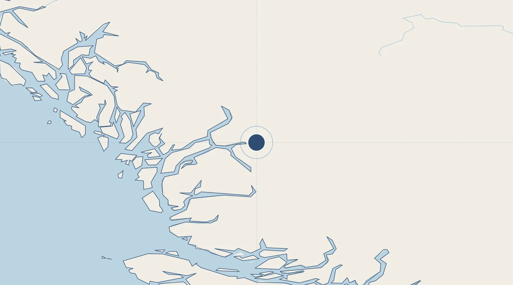
52.3875°, -126.5960°
4,200 ft
Longest runway
1
Runways
117 ft
Elevation

Runway & Layout

Bella Coola Airport runway & taxiway layout
Runway & taxiway layout — OpenStreetMap (ODbL) / OurAirports

Radio Frequencies

ATF
122.8 MHz
RCO
126.7 MHz
PACIFIC RDO
OurAirports

Runways · 1

RunwayDimensions SurfaceTrue headingLit
05/23 4,200 × 100ft Asphalt 072°
OurAirports

Airport Specifications

IATA code
QBC
OurAirports
ICAO code
CYBD
OurAirports
Airport class
Medium airport
OurAirports
Scheduled service
Yes
OurAirports
Runway surface
Asphalt
OurAirports
Served city
Bella Coola
OurAirports

Location

Location of CYBD
Natural Earth 10m (public domain) · British Columbia · CYBD · 52.39, -126.60GoogleOSMYandex

Nearby Logistics Neighbours

Airports
  1. 1Anahim Lake Airport88 km
  2. 2Bella Bella (Campbell Island) Airport109 km
  3. 3Streatham Reef Hueston Airfield162 km
  4. 4Sullivan Bay Seaplane Base168 km
  5. 5Greenway Sound Seaplane Base173 km
Nearest neighbours — logibook spatial index (haversine) over the source coordinates
Cities
  1. 1Port McNeill204 km
  2. 2Beaver Cove209 km
  3. 3Coal Harbour210 km
  4. 4Endako216 km
  5. 5Sayward231 km
Nearest neighbours — logibook spatial index (haversine) over the source coordinates
Ports
  1. 1Bella Coola14 km
  2. 2Klemtu132 km
  3. 3Alert Bay202 km
  4. 4Port Mcneill203 km
  5. 5Coal Harbor210 km
Nearest neighbours — logibook spatial index (haversine) over the source coordinates
Trade Zones
  1. 1PrInce George Logistics Park308 km
  2. 2FTZ Vancouver Island426 km
  3. 3FTZ No. 128 Whatcom County489 km
  4. 4FTZ No. 129 Bellingham496 km
  5. 5FTZ No. 085 Everett579 km
Nearest neighbours — logibook spatial index (haversine) over the source coordinates
DatabookThe Record of Consolidated Knowledge
Canada beyond logistics?
Browse databook

All Sources

AirportsOurAirports
Public domain
Portsthe NGA World Port Index
Public domain (US gov)
LocationsUN/LOCODE
UN/LOCODE — free
Trade Zonesthe World Bank SEZ database
CC BY 4.0
Trade ZonesOpen Zone Map
CC BY
InfrastructureOpenStreetMap
ODbL 1.0
← Canada airports