Small airport · Canada
Streatham Reef Hueston AirfieldCRHA
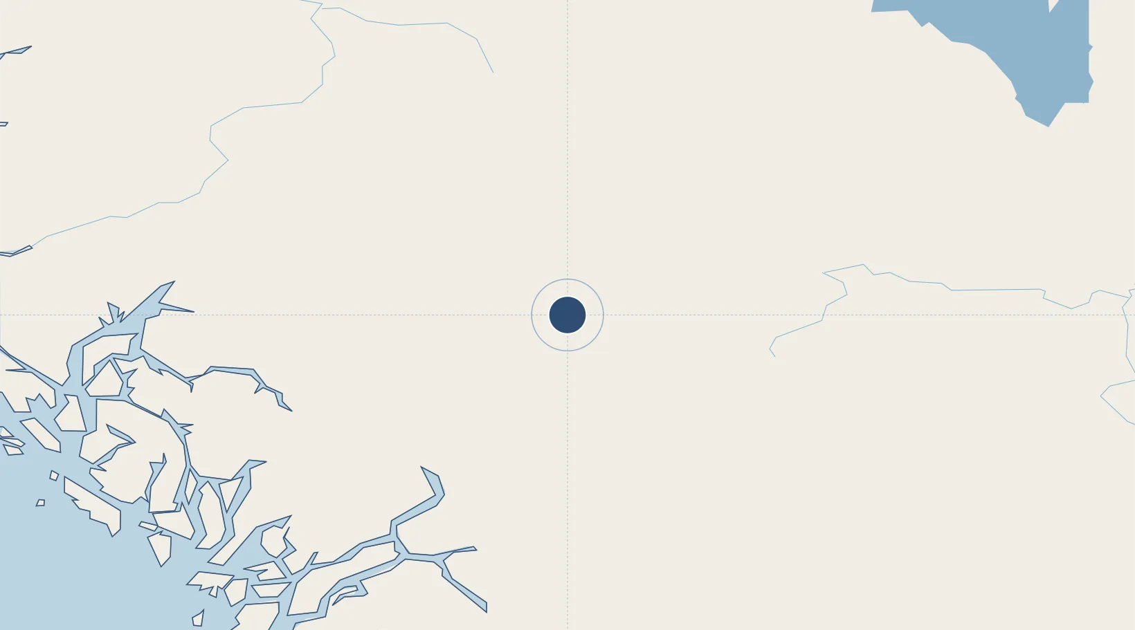
53.8226°, -126.1730°
9,300 ft
Longest runway
1
Runways
Runway & Layout

Runways · 1
| Runway | Dimensions | Surface | True heading | Lit |
|---|---|---|---|---|
| R20/R23 | 9,300 × 115ft | Asphalt | — | ✓ |
Airport Specifications
ICAO code
CRHA
Airport class
Small airport
Scheduled service
Yes
Runway surface
Asphalt
Served city
Streatham
Location
Nearby Logistics Neighbours
Airports
- 1Burns Lake Airport63 km
- 2Smithers Airport129 km
- 3Bella Coola Airport162 km
- 4Anahim Lake Airport163 km
- 5Northwest Regional Airport Terrace-Kitimat172 km
Cities
- 1Endako81 km
- 2Telkwa111 km
- 3Vanderhoof143 km
- 4Prince George225 km
- 5Prince Rupert278 km
Ports
- 1Kitimat166 km
- 2Bella Coola167 km
- 3Klemtu207 km
- 4Prince Rupert277 km
- 5Port Simpson289 km
Trade Zones
- 1PrInce George Logistics Park225 km
- 2FTZ Vancouver Island551 km
- 3FTZ No. 128 Whatcom County611 km
- 4FTZ No. 129 Bellingham618 km
- 5FTZ No. 085 Everett704 km
DatabookThe Record of Consolidated Knowledge
Canada beyond logistics?