Runway & Layout
Airport Specifications
IATA code
YTG
ICAO code
CAV5
Airport class
Seaplane base
Scheduled service
Yes
Served city
Sullivan Bay
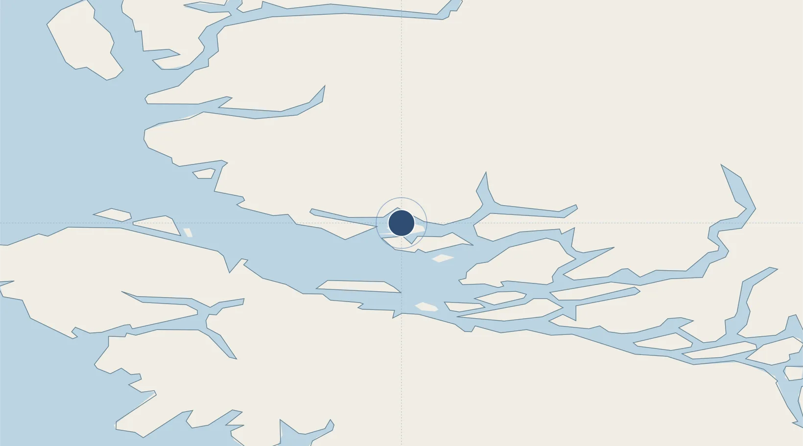
Location
Nearby Logistics Neighbours
Airports
Cities
- 1Port McNeill39 km
- 2Beaver Cove41 km
- 3Coal Harbour62 km
- 4Sayward88 km
- 5Campbell River148 km
Ports
- 1Alert Bay34 km
- 2Port Mcneill38 km
- 3Coal Harbor62 km
- 4Port Alice71 km
- 5Tahsis108 km
Trade Zones
- 1FTZ Vancouver Island322 km
- 2FTZ No. 128 Whatcom County384 km
- 3FTZ No. 129 Bellingham389 km
- 4PrInce George Logistics Park436 km
- 5FTZ No. 173 Grays Harbor452 km
DatabookThe Record of Consolidated Knowledge
Canada beyond logistics?