Channel & Berth Profile
Pilotage, Tugs & Services
Pilotage compulsoryYES
Pilotage availableYES
Tug assistanceNO
Potable waterYES
MedicalYES
Garbage disposalYES
Facilities & Capabilities
Container—
Ro-Ro—
Liquid bulk—
Dry bulk—
Oil terminal—
Break bulk—
Dry dock—
RepairsNO
BunkeringYES
Rail linkYES
Dangerous cargo—
ISPS security—
Harbour Specifications
Harbour size
Very Small
Harbour type
Typhoon Harbor
Shelter
Good
Water body
South Atlantic Ocean
Tidal range
2 m
Overhead limit
Yes
Pilotage
Yes
Liner Connectivity
11
PLSCI
Port Liner Shipping Connectivity Index for Santarem, as published by UNCTAD for the latest available quarter. Higher values indicate stronger scheduled liner-shipping integration.
Shown relative to the highest per-port PLSCI in the dataset (1,657.9).
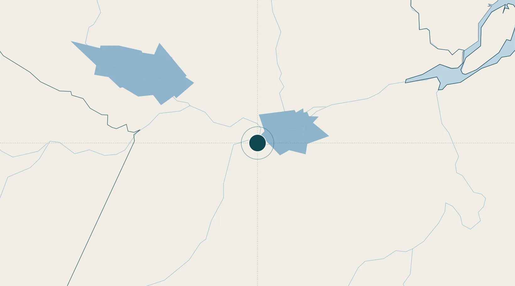
Location
Nearby Logistics Neighbours
Ports
- 1Itacoatiara423 km
- 2Porto Santana473 km
- 3Cameta580 km
- 4Manaus594 km
- 5Vila Do Conde670 km
Cities
- 1Alenquer52 km
- 2Monte Alegre86 km
- 3Óbidos104 km
- 4Oriximiná146 km
- 5Juruti155 km
Airports
- 1Santarém - Maestro Wilson Fonseca International Airport9 km
- 2Trombetas Airport213 km
- 3Itaituba Airport248 km
- 4Almeirim Airport260 km
- 5Altamira Interstate Airport289 km
Trade Zones
- 1Zona Franca de Manaus - Suframa (Manaus Free Zone)589 km
- 2ZPE de Barcarena (PA)684 km
- 3Lethem Industrial Estate858 km
- 4ZPE de Boa Vista (RR)884 km
- 5ZPE de Araguaína (TO)893 km
DatabookThe Record of Consolidated Knowledge
Brazil beyond logistics?