Seaport · Brazil

ItacoatiaraBRIAR

-3.1500°, -58.4500°
11.0 m
Channel depth
Itacoatiara is also a UN/LOCODE logistics hub →

Channel & Berth Profile

SEA LEVEL (CD)CHANNEL BEDCargo pier · 9.4 mChannel · 11.0 m
NGA World Port Index

Pilotage, Tugs & Services

Pilotage availableYES
Tug assistanceNO
Salvage tugsNO
Shore powerNO
MedicalYES
Garbage disposalNO
NGA World Port Index

Facilities & Capabilities

Container
Ro-Ro
Liquid bulk
Dry bulk
Oil terminal
Break bulk
Dry dock
RepairsNO
BunkeringYES
Rail link
Dangerous cargo
ISPS security
NGA World Port Index

Harbour Specifications

Harbour size
Very Small
NGA World Port Index
Harbour type
River (Natural)
NGA World Port Index
Shelter
Excellent
NGA World Port Index
Water body
South Atlantic Ocean
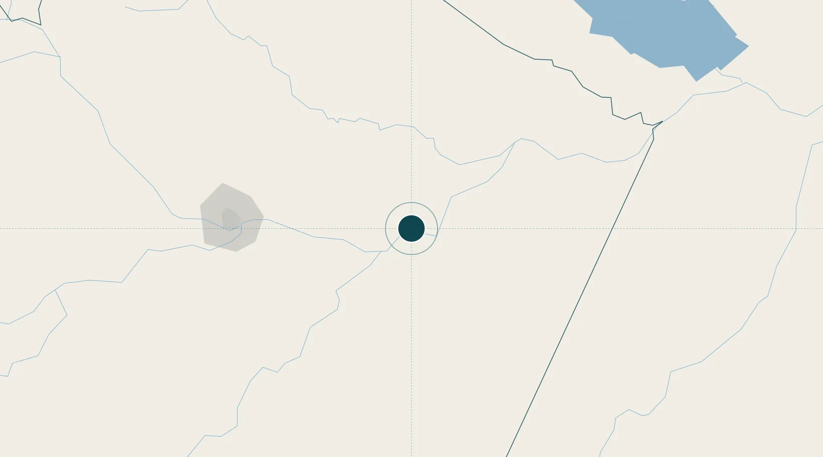
NGA World Port Index

Location

Location of BRIAR
Natural Earth 10m (public domain) · Amazonas · BRIAR · -3.15, -58.45GoogleOSMYandex

Nearby Logistics Neighbours

Ports
  1. 1Manaus174 km
  2. 2Santarem423 km
  3. 3Porto Santana878 km
  4. 4Cameta999 km
  5. 5Linden1018 km
Nearest neighbours — logibook spatial index (haversine) over the source coordinates
Cities
  1. 1Urucurituba33 km
  2. 2Itapiranga66 km
  3. 3Maués87 km
  4. 4Autazes89 km
  5. 5São Sebastião do Uatumã92 km
Nearest neighbours — logibook spatial index (haversine) over the source coordinates
Airports
  1. 1Itacoatiara Airport4 km
  2. 2Ponta Pelada Airport / Manaus Air Base171 km
  3. 3Eduardo Gomes International Airport178 km
  4. 4Borba Airport189 km
  5. 5Trombetas Airport294 km
Nearest neighbours — logibook spatial index (haversine) over the source coordinates
Trade Zones
  1. 1Zona Franca de Manaus - Suframa (Manaus Free Zone)169 km
  2. 2ZPE de Boa Vista (RR)709 km
  3. 3Lethem Industrial Estate742 km
  4. 4Free Port of Santa Elena de Uairén911 km
  5. 5Eccles Industrial Estate1104 km
Nearest neighbours — logibook spatial index (haversine) over the source coordinates
DatabookThe Record of Consolidated Knowledge
Brazil beyond logistics?
Browse databook

All Sources

Portsthe NGA World Port Index
Public domain (US gov)
AirportsOurAirports
Public domain
LocationsUN/LOCODE
UN/LOCODE — free
Trade Zonesthe World Bank SEZ database
CC BY 4.0
Trade ZonesOpen Zone Map
CC BY
← Brazil ports