Transport Functions
Port
Road
Airport
Hub Profile
Place type
Populated place
Region
Pará
Population
69,377
Time zone
America/Santarem
Elevation
32 m
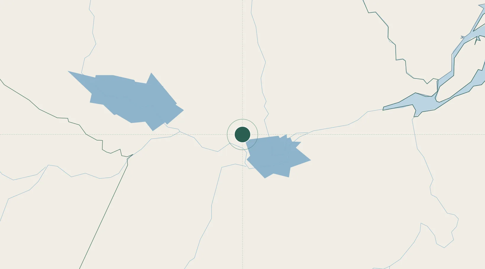
Location
Nearby Logistics Neighbours
Cities
- 1Santarém54 km
- 2Monte Alegre74 km
- 3Óbidos85 km
- 4Oriximiná126 km
- 5Prainha142 km
Ports
- 1Santarem52 km
- 2Itacoatiara434 km
- 3Porto Santana448 km
- 4Cameta583 km
- 5Manaus602 km
Airports
Trade Zones
- 1Zona Franca de Manaus - Suframa (Manaus Free Zone)597 km
- 2ZPE de Barcarena (PA)680 km
- 3Lethem Industrial Estate818 km
- 4ZPE de Boa Vista (RR)849 km
- 5ZPE de Araguaína (TO)927 km
DatabookThe Record of Consolidated Knowledge
Brazil beyond logistics?