Free Trade Zone · Brazil
Zona Franca de Manaus - Suframa (Manaus Free Zone) Under Development
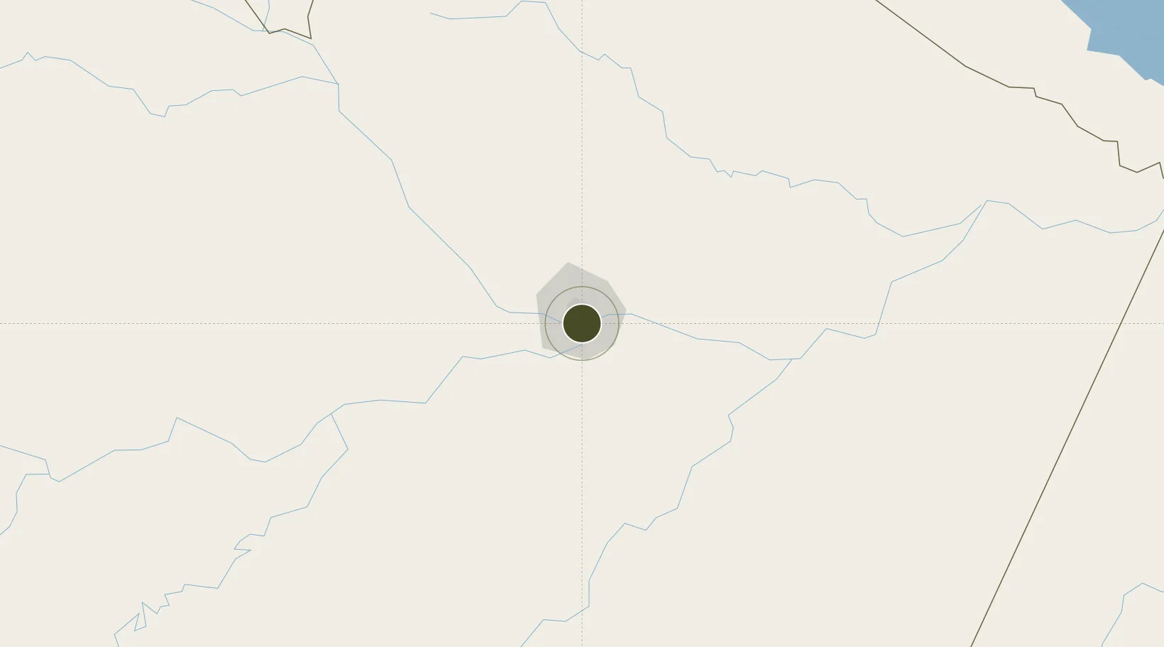
-3.1300°, -59.9730°
589,334 ha
Zone area
4.9 km
Nearest port
2.3 km
Nearest airport
Gateway access
Zone profile
Zone type
Free Trade Zone
Region
Amazonas
Status
Under Development
Management
Public
Operator
Superintendência da Zona Franca de Manaus (Suframa)
Legal framework
Decreto-LEI Nº 288, de 28 de Fevereiro de 1967
Location
Nearby Logistics Neighbours
Ports
- 1Manaus5 km
- 2Itacoatiara169 km
- 3Santarem589 km
- 4Linden1032 km
- 5Porto Santana1035 km
Airports
- 1Ponta Pelada Airport / Manaus Air Base2 km
- 2Eduardo Gomes International Airport13 km
- 3Borba Airport148 km
- 4Itacoatiara Airport166 km
- 5Manicoré Airport331 km
Cities
- 1Manaus2 km
- 2Careiro da Várzea18 km
- 3Iranduba28 km
- 4Manaquiri62 km
- 5Manacapuru74 km
Trade Zones
- 1ZPE de Boa Vista (RR)666 km
- 2Lethem Industrial Estate725 km
- 3Free Port of Santa Elena de Uairén869 km
- 4Eccles Industrial Estate1119 km
- 5Ruimveldt Industrial Estate1121 km
DatabookThe Record of Consolidated Knowledge
Brazil beyond logistics?