Medium airport · Brazil
Santarém - Maestro Wilson Fonseca International AirportSBSN
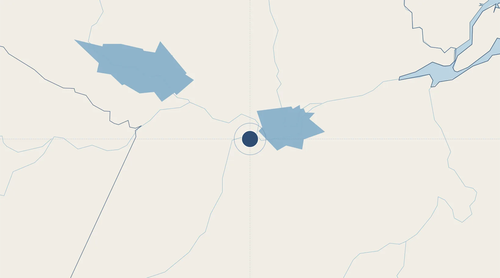
-2.4224°, -54.7931°
7,874 ft
Longest runway
1
Runways
198 ft
Elevation
Runway & Layout

Radio Frequencies
TWR
118.1 MHz
APP
119.3 MHz
Navaids
STM VOR-DME Santarem 112.30 MHz
STM NDB Santarem 350 kHz
Runways · 1
| Runway | Dimensions | Surface | True heading | Lit |
|---|---|---|---|---|
| 10/28 | 7,874 × 148ft | Asphalt | — | ✓ |
Airport Specifications
IATA code
STM
ICAO code
SBSN
Airport class
Medium airport
Scheduled service
Yes
Runway surface
Asphalt
Served city
Santarém
Location
Nearby Logistics Neighbours
Airports
- 1Trombetas Airport206 km
- 2Itaituba Airport243 km
- 3Almeirim Airport268 km
- 4Altamira Interstate Airport297 km
- 5Monte Dourado - Serra do Areão Airport297 km
Cities
- 1Santarém9 km
- 2Alenquer53 km
- 3Monte Alegre93 km
- 4Óbidos98 km
- 5Oriximiná139 km
Ports
- 1Santarem9 km
- 2Itacoatiara414 km
- 3Porto Santana480 km
- 4Manaus586 km
- 5Cameta588 km
Trade Zones
- 1Zona Franca de Manaus - Suframa (Manaus Free Zone)581 km
- 2ZPE de Barcarena (PA)692 km
- 3Lethem Industrial Estate853 km
- 4ZPE de Boa Vista (RR)878 km
- 5ZPE de Araguaína (TO)900 km
DatabookThe Record of Consolidated Knowledge
Brazil beyond logistics?