Medium airport · Brazil
Altamira Interstate AirportSBHT
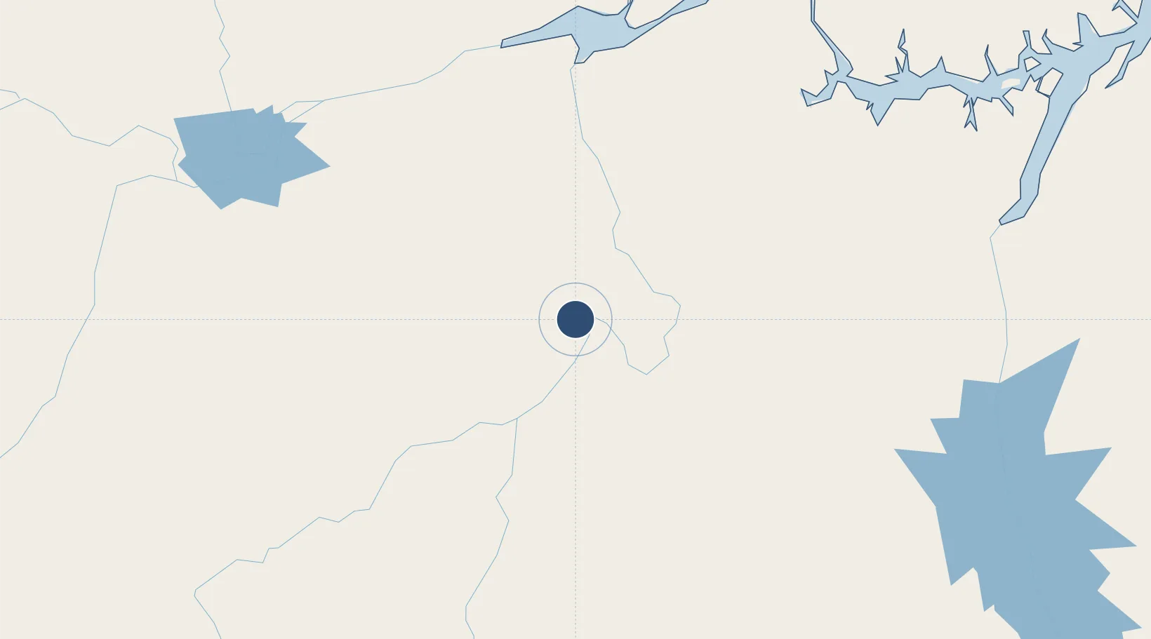
-3.2531°, -52.2539°
6,572 ft
Longest runway
1
Runways
368 ft
Elevation
Runway & Layout

Radio Frequencies
AFIS
125.85 MHz
RDO
Navaids
ATM VOR Altamira 113.20 MHz
ATM NDB Altamira 295 kHz
Runways · 1
| Runway | Dimensions | Surface | True heading | Lit |
|---|---|---|---|---|
| 7/25 | 6,572 × 125ft | Asphalt | — | — |
Airport Specifications
IATA code
ATM
ICAO code
SBHT
Airport class
Medium airport
Scheduled service
Yes
Runway surface
Asphalt
Served city
Altamira
Location
Nearby Logistics Neighbours
Airports
- 1Almeirim Airport201 km
- 2Monte Dourado - Serra do Areão Airport266 km
- 3Breves Airport270 km
- 4Tucuruí Airport287 km
- 5Santarém - Maestro Wilson Fonseca International Airport297 km
Cities
- 1Altamira8 km
- 2Vitória do Xingu50 km
- 3Senador José Porfírio82 km
- 4Porto de Moz169 km
- 5Almeirim196 km
Ports
- 1Santarem289 km
- 2Cameta326 km
- 3Porto Santana376 km
- 4Vila Do Conde433 km
- 5Belem463 km
Trade Zones
- 1ZPE de Barcarena (PA)447 km
- 2ZPE de Araguaína (TO)624 km
- 3Zona Franca de Manaus - Suframa (Manaus Free Zone)857 km
- 4ZPE de São Luís884 km
- 5Lethem Industrial Estate1118 km
DatabookThe Record of Consolidated Knowledge
Brazil beyond logistics?