UN/LOCODE hub · Brazil
BRORX

Oriximiná

-1.7500°, -55.8500°
68,294
Population
3
Transport functions

Transport Functions

Port
Road
Airport
UN/LOCODE

Hub Profile

Place type
Populated place
GeoNames
Region
Pará
GeoNames
Population
68,294
GeoNames
Time zone
America/Santarem
GeoNames
Elevation
34 m
GeoNames

Location

Location of BRORX
Natural Earth 10m (public domain) · Pará · BRORX · -1.75, -55.85GoogleOSMYandex

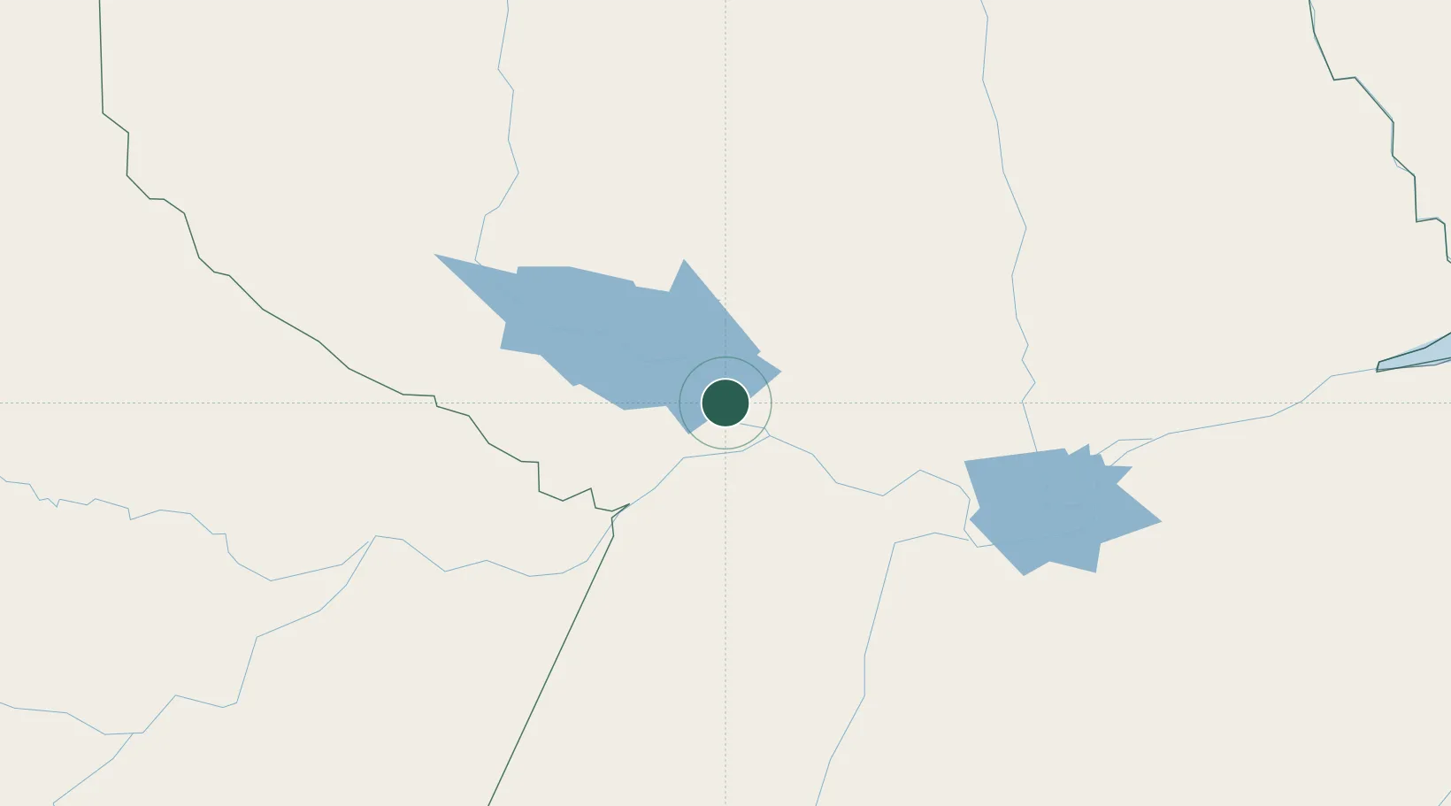
Nearby Logistics Neighbours

Cities
  1. 1Óbidos42 km
  2. 2Juruti52 km
  3. 3Porto Trombetas / Oriximiná67 km
  4. 4Terra Santa80 km
  5. 5Nhamundá108 km
Nearest neighbours — logibook spatial index (haversine) over the source coordinates
Ports
  1. 1Santarem146 km
  2. 2Itacoatiara328 km
  3. 3Manaus488 km
  4. 4Porto Santana552 km
  5. 5Cameta708 km
Nearest neighbours — logibook spatial index (haversine) over the source coordinates
Airports
  1. 1Trombetas Airport67 km
  2. 2Santarém - Maestro Wilson Fonseca International Airport139 km
  3. 3Itaituba Airport278 km
  4. 4Itacoatiara Airport330 km
  5. 5Almeirim Airport365 km
Nearest neighbours — logibook spatial index (haversine) over the source coordinates
Trade Zones
  1. 1Zona Franca de Manaus - Suframa (Manaus Free Zone)483 km
  2. 2Lethem Industrial Estate721 km
  3. 3ZPE de Boa Vista (RR)741 km
  4. 4ZPE de Barcarena (PA)803 km
  5. 5Free Port of Santa Elena de Uairén917 km
Nearest neighbours — logibook spatial index (haversine) over the source coordinates
DatabookThe Record of Consolidated Knowledge
Brazil beyond logistics?
Browse databook

All Sources

LocationsUN/LOCODE
UN/LOCODE — free
LocationsGeoNames
CC BY 4.0
Portsthe NGA World Port Index
Public domain (US gov)
AirportsOurAirports
Public domain
Trade Zonesthe World Bank SEZ database
CC BY 4.0
Trade ZonesOpen Zone Map
CC BY
← Brazil locations