Small airport · Brazil

Almeirim AirportSNYA
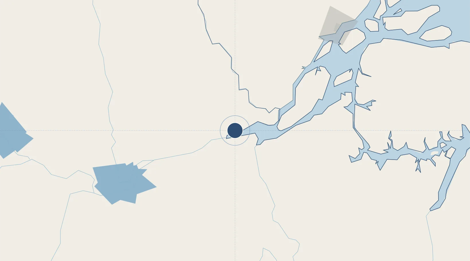
-1.4795°, -52.5782°
3,937 ft
Longest runway
1
Runways
584 ft
Elevation

Runway & Layout

Almeirim Airport runway & taxiway layout
Runway & taxiway layout — OpenStreetMap (ODbL) / OurAirports

Runways · 1

RunwayDimensions SurfaceTrue headingLit
5/23 3,937 × 98ft Piçarra gravel
OurAirports

Airport Specifications

IATA code
GGF
OurAirports
ICAO code
SNYA
OurAirports
Airport class
Small airport
OurAirports
Scheduled service
Yes
OurAirports
Runway surface
Piçarra gravel
OurAirports
Served city
Almeirim
OurAirports

Location

Location of SNYA
Natural Earth 10m (public domain) · Pará · SNYA · -1.48, -52.58GoogleOSMYandex

Nearby Logistics Neighbours

Airports
  1. 1Monte Dourado - Serra do Areão Airport66 km
  2. 2Altamira Interstate Airport201 km
  3. 3Breves Airport238 km
  4. 4Macapá - Alberto Alcolumbre International Airport239 km
  5. 5Santarém - Maestro Wilson Fonseca International Airport268 km
Nearest neighbours — logibook spatial index (haversine) over the source coordinates
Cities
  1. 1Almeirim4 km
  2. 2Porto de Moz48 km
  3. 3Laranjal do Jari70 km
  4. 4Prainha105 km
  5. 5Gurupá105 km
Nearest neighbours — logibook spatial index (haversine) over the source coordinates
Ports
  1. 1Porto Santana222 km
  2. 2Santarem260 km
  3. 3Cameta353 km
  4. 4Vila Do Conde426 km
  5. 5Belem453 km
Nearest neighbours — logibook spatial index (haversine) over the source coordinates
Trade Zones
  1. 1ZPE de Barcarena (PA)439 km
  2. 2ZPE de Araguaína (TO)797 km
  3. 3Zona Franca de Manaus - Suframa (Manaus Free Zone)842 km
  4. 4ZPE de São Luís925 km
  5. 5Lethem Industrial Estate968 km
Nearest neighbours — logibook spatial index (haversine) over the source coordinates
DatabookThe Record of Consolidated Knowledge
Brazil beyond logistics?
Browse databook

All Sources

AirportsOurAirports
Public domain
Portsthe NGA World Port Index
Public domain (US gov)
LocationsUN/LOCODE
UN/LOCODE — free
Trade Zonesthe World Bank SEZ database
CC BY 4.0
Trade ZonesOpen Zone Map
CC BY
InfrastructureOpenStreetMap
ODbL 1.0
← Brazil airports