Channel & Berth Profile
Pilotage, Tugs & Services
Pilotage availableYES
Shore powerYES
Diesel bunkersYES
MedicalYES
Garbage disposalYES
Facilities & Capabilities
Container—
Ro-Ro—
Liquid bulk—
Dry bulk—
Oil terminal—
Break bulk—
Dry dock—
Repairs—
BunkeringYES
Rail link—
Dangerous cargo—
ISPS security—
Harbour Specifications
Harbour size
Very Small
Harbour type
Typhoon Harbor
Shelter
Good
Water body
South Atlantic Ocean
Tidal range
3 m
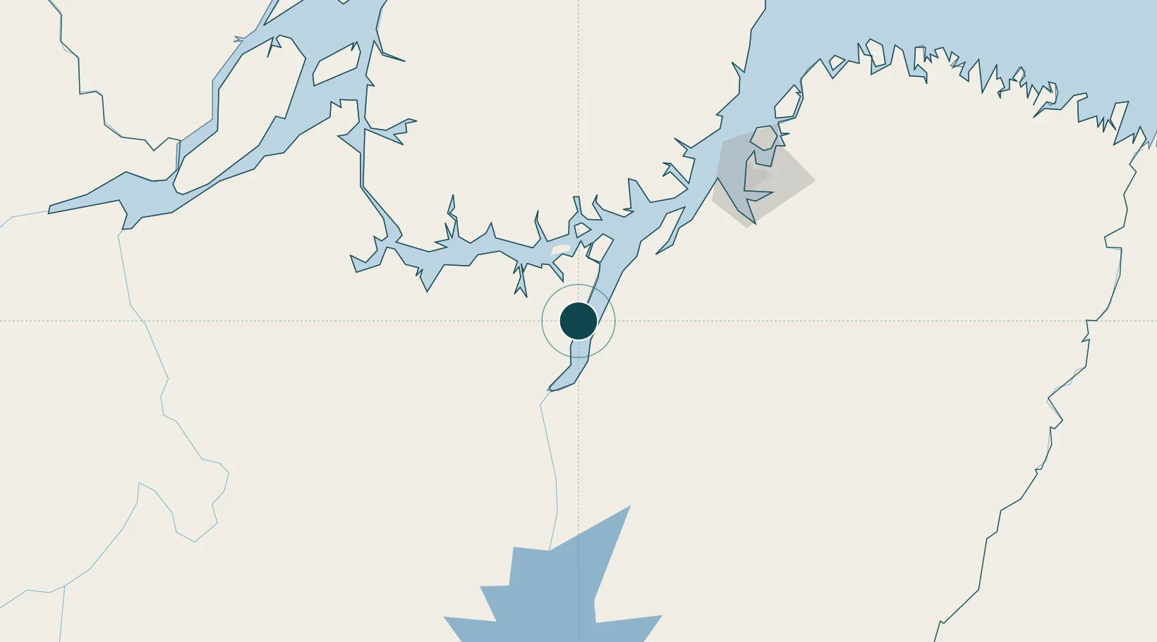
Location
Nearby Logistics Neighbours
Ports
- 1Vila Do Conde114 km
- 2Belem142 km
- 3Porto Santana308 km
- 4Itaqui571 km
- 5Santarem580 km
Cities
- 1Moju91 km
- 2Tailândia98 km
- 3Vila do Conde Pt / Barcarena115 km
- 4Breves125 km
- 5Acará148 km
Airports
- 1Breves Airport125 km
- 2Val de Cans/Júlio Cezar Ribeiro International Airport149 km
- 3Tucuruí Airport173 km
- 4Nagib Demachki Airport257 km
- 5Salinópolis Airport296 km
Trade Zones
- 1ZPE de Barcarena (PA)126 km
- 2ZPE de Araguaína (TO)566 km
- 3ZPE de São Luís576 km
- 4ZPE de Parnaíba (PI)862 km
- 5Zona Franca de Manaus - Suframa (Manaus Free Zone)1167 km
DatabookThe Record of Consolidated Knowledge
Brazil beyond logistics?