Transport Functions
Port
Road
Airport
Hub Profile
Place type
Provincial seat
Region
Pará
Population
52,306
Time zone
America/Santarem
Elevation
27 m
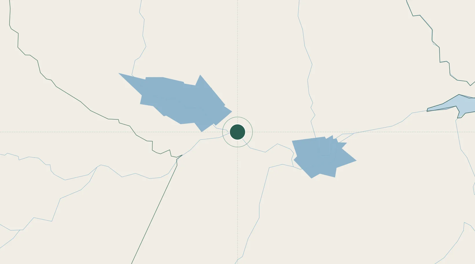
Location
Nearby Logistics Neighbours
Cities
- 1Oriximiná42 km
- 2Juruti71 km
- 3Alenquer85 km
- 4Santarém106 km
- 5Porto Trombetas / Oriximiná109 km
Ports
- 1Santarem104 km
- 2Itacoatiara356 km
- 3Manaus520 km
- 4Porto Santana522 km
- 5Cameta668 km
Airports
Trade Zones
DatabookThe Record of Consolidated Knowledge
Brazil beyond logistics?