Medium airport · Brazil

Trombetas AirportSBTB
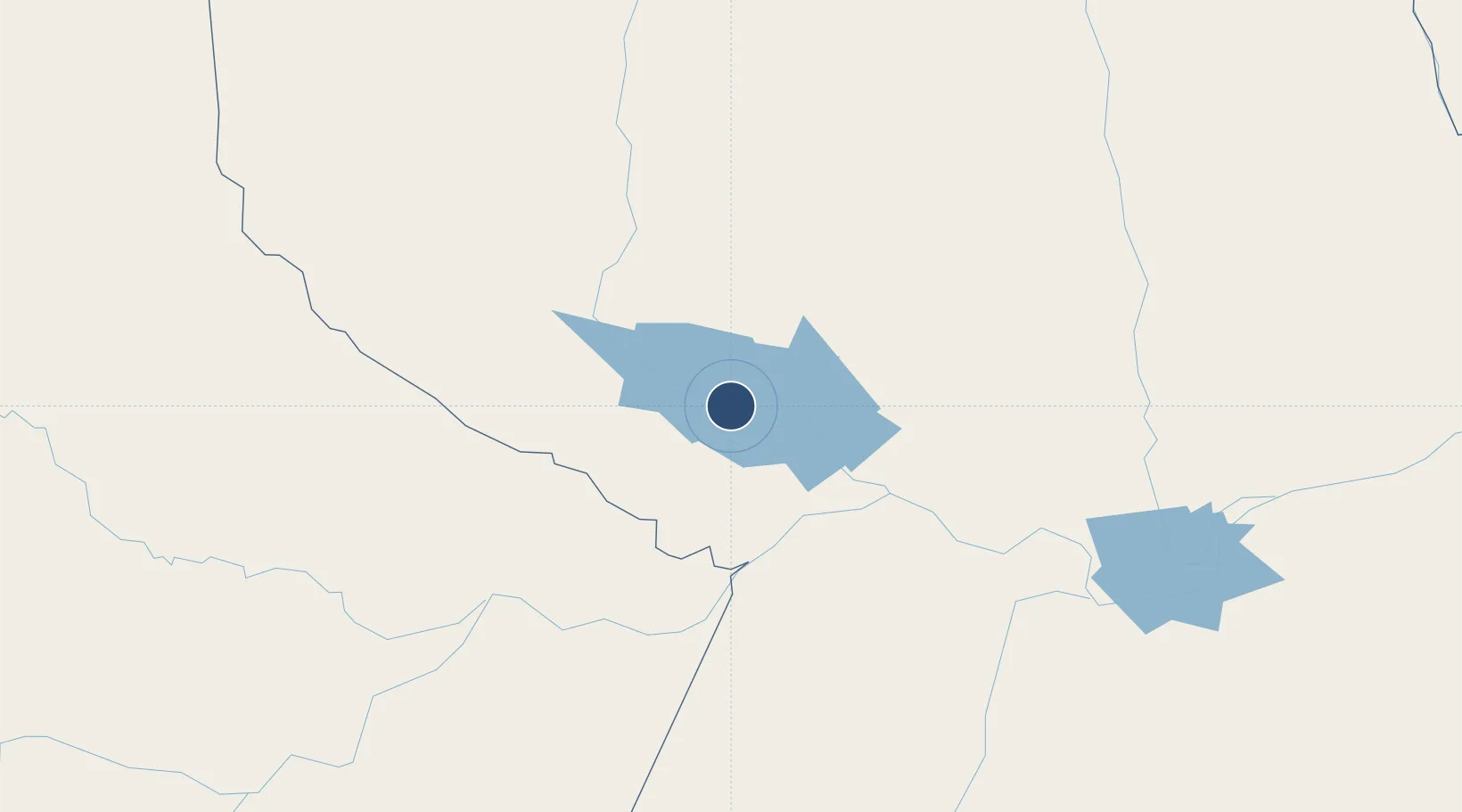
-1.4896°, -56.3968°
5,249 ft
Longest runway
1
Runways
167 ft
Elevation

Runway & Layout

Trombetas Airport runway & taxiway layout
Runway & taxiway layout — OpenStreetMap (ODbL) / OurAirports

Radio Frequencies

AFIS
131.6 MHz
RDO
OurAirports

Navaids

PTT NDB Trombetas 205 kHz
OurAirports

Runways · 1

RunwayDimensions SurfaceTrue headingLit
9/27 5,249 × 98ft Asphalt
OurAirports

Airport Specifications

IATA code
TMT
OurAirports
ICAO code
SBTB
OurAirports
Airport class
Medium airport
OurAirports
Scheduled service
Yes
OurAirports
Runway surface
Asphalt
OurAirports
Served city
Oriximiná
OurAirports

Location

Location of SBTB
Natural Earth 10m (public domain) · Pará · SBTB · -1.49, -56.40GoogleOSMYandex

Nearby Logistics Neighbours

Airports
  1. 1Santarém - Maestro Wilson Fonseca International Airport206 km
  2. 2Itacoatiara Airport295 km
  3. 3Itaituba Airport309 km
  4. 4Tiriós Airport416 km
  5. 5Almeirim Airport425 km
Nearest neighbours — logibook spatial index (haversine) over the source coordinates
Cities
  1. 1Porto Trombetas / Oriximiná3 km
  2. 2Oriximiná67 km
  3. 3Terra Santa69 km
  4. 4Juruti81 km
  5. 5Nhamundá85 km
Nearest neighbours — logibook spatial index (haversine) over the source coordinates
Ports
  1. 1Santarem213 km
  2. 2Itacoatiara294 km
  3. 3Manaus442 km
  4. 4Porto Santana601 km
  5. 5Cameta771 km
Nearest neighbours — logibook spatial index (haversine) over the source coordinates
Trade Zones
  1. 1Zona Franca de Manaus - Suframa (Manaus Free Zone)437 km
  2. 2Lethem Industrial Estate661 km
  3. 3ZPE de Boa Vista (RR)677 km
  4. 4Free Port of Santa Elena de Uairén856 km
  5. 5ZPE de Barcarena (PA)864 km
Nearest neighbours — logibook spatial index (haversine) over the source coordinates
DatabookThe Record of Consolidated Knowledge
Brazil beyond logistics?
Browse databook

All Sources

AirportsOurAirports
Public domain
Portsthe NGA World Port Index
Public domain (US gov)
LocationsUN/LOCODE
UN/LOCODE — free
Trade Zonesthe World Bank SEZ database
CC BY 4.0
Trade ZonesOpen Zone Map
CC BY
InfrastructureOpenStreetMap
ODbL 1.0
← Brazil airports