Medium airport · Brazil
Itaituba AirportSBIH
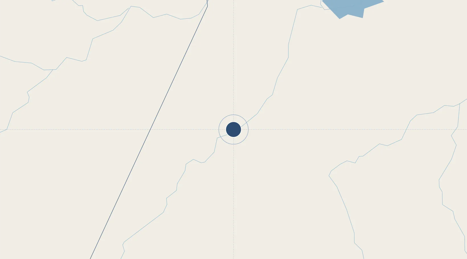
-4.2421°, -56.0007°
5,577 ft
Longest runway
1
Runways
110 ft
Elevation
Runway & Layout

Radio Frequencies
TWR
118.4 MHz
Navaids
YUB NDB Itaituba 250 kHz
Runways · 1
| Runway | Dimensions | Surface | True heading | Lit |
|---|---|---|---|---|
| 05/23 | 5,577 × 98ft | Asphalt | 033° | ✓ |
Airport Specifications
IATA code
ITB
ICAO code
SBIH
Airport class
Medium airport
Scheduled service
Yes
Runway surface
Asphalt
Served city
Itaituba
Location
Nearby Logistics Neighbours
Airports
- 1Santarém - Maestro Wilson Fonseca International Airport243 km
- 2Jacareacanga Airport296 km
- 3Itacoatiara Airport302 km
- 4Trombetas Airport309 km
- 5Borba Airport400 km
Cities
- 1Itaituba2 km
- 2Parintins198 km
- 3Barreirinha201 km
- 4Maués211 km
- 5Boa Vista do Ramos226 km
Ports
- 1Santarem248 km
- 2Itacoatiara298 km
- 3Manaus462 km
- 4Porto Santana710 km
- 5Cameta755 km
Trade Zones
- 1Zona Franca de Manaus - Suframa (Manaus Free Zone)458 km
- 2ZPE de Barcarena (PA)873 km
- 3ZPE de Araguaína (TO)920 km
- 4ZPE de Boa Vista (RR)943 km
- 5Lethem Industrial Estate948 km
DatabookThe Record of Consolidated Knowledge
Brazil beyond logistics?