Transport Functions
Port
Road
Hub Profile
Place type
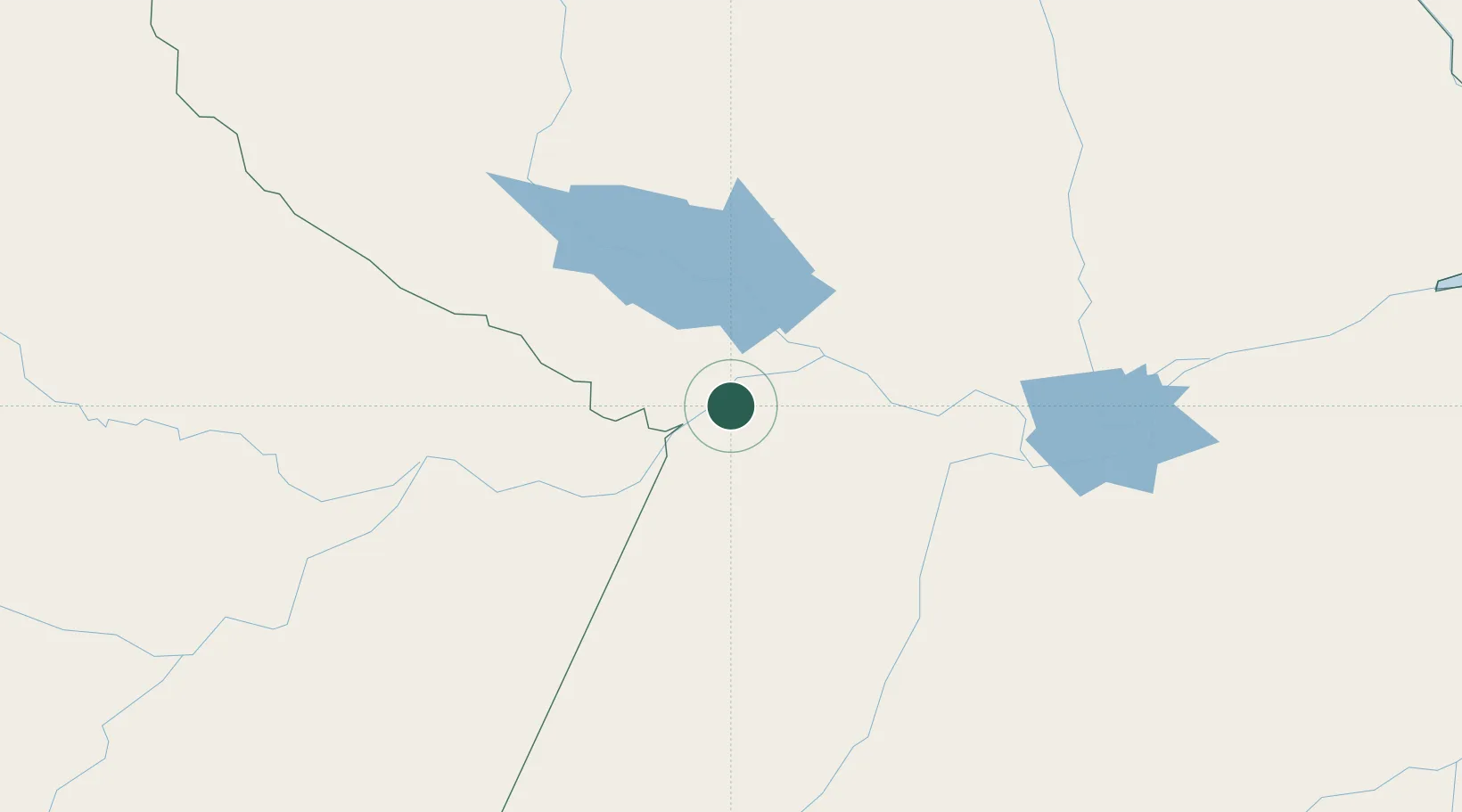
Populated place
Region
Pará
Population
50,881
Time zone
America/Santarem
Elevation
25 m
Location
Nearby Logistics Neighbours
Cities
- 1Terra Santa45 km
- 2Oriximiná52 km
- 3Nhamundá71 km
- 4Óbidos71 km
- 5Porto Trombetas / Oriximiná83 km
Ports
- 1Santarem155 km
- 2Itacoatiara285 km
- 3Manaus450 km
- 4Porto Santana593 km
- 5Cameta732 km
Airports
- 1Trombetas Airport81 km
- 2Santarém - Maestro Wilson Fonseca International Airport147 km
- 3Itaituba Airport233 km
- 4Itacoatiara Airport288 km
- 5Almeirim Airport397 km
Trade Zones
DatabookThe Record of Consolidated Knowledge
Brazil beyond logistics?