Transport Functions
Port
Road
Airport
Hub Profile
Place type
Populated place
Region
Pará
Population
60,012
Time zone
America/Santarem
Elevation
57 m
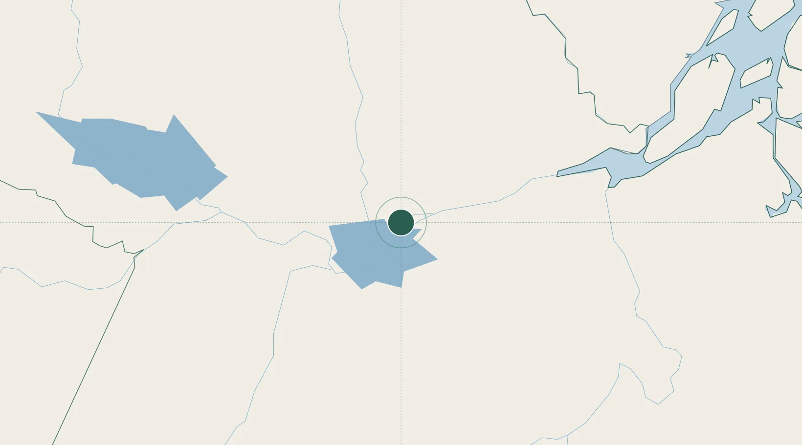
Location
Nearby Logistics Neighbours
Ports
- 1Santarem86 km
- 2Porto Santana387 km
- 3Itacoatiara503 km
- 4Cameta508 km
- 5Vila Do Conde593 km
Airports
Trade Zones
- 1ZPE de Barcarena (PA)607 km
- 2Zona Franca de Manaus - Suframa (Manaus Free Zone)668 km
- 3ZPE de Araguaína (TO)867 km
- 4Lethem Industrial Estate875 km
- 5ZPE de Boa Vista (RR)912 km
DatabookThe Record of Consolidated Knowledge
Brazil beyond logistics?