Seaport · Brazil
ManausBRMAO
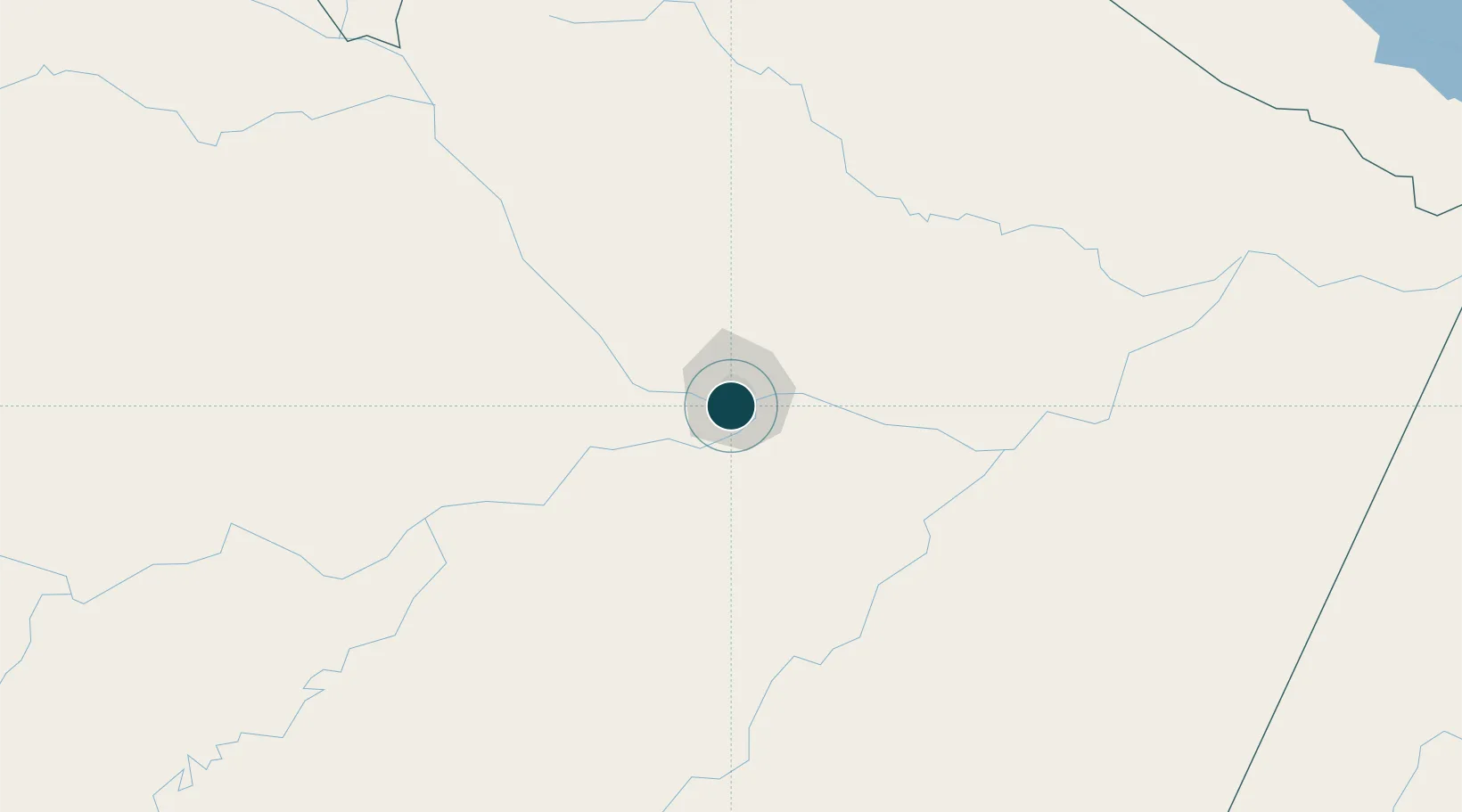
-3.1333°, -60.0167°
11.5 m
Channel depth
2
Container terminals
69.8
Port liner connectivity
Channel & Berth Profile
Pilotage, Tugs & Services
Pilotage compulsoryYES
Pilotage availableYES
Tug assistanceYES
Salvage tugsNO
Shore powerNO
Potable waterYES
Diesel bunkersYES
MedicalYES
Garbage disposalYES
Facilities & Capabilities
Container—
Ro-Ro—
Liquid bulk—
Dry bulk—
Oil terminal—
Break bulk—
Dry dock—
RepairsNO
BunkeringYES
Rail linkYES
Dangerous cargo—
ISPS security—
Harbour Specifications
Harbour size
Small
Harbour type
River (Natural)
Shelter
Excellent
Water body
South Atlantic Ocean
Tidal range
11.5 m
Pilotage
Yes
Liner Connectivity
69.8
PLSCI
Port Liner Shipping Connectivity Index for Manaus, as published by UNCTAD for the latest available quarter. Higher values indicate stronger scheduled liner-shipping integration.
Shown relative to the highest per-port PLSCI in the dataset (1,657.9).
Location
Container Terminals · 2
CHIBATAO NAVEGACAO E COMERCIO LTDA
CHINC
SUPER TERMINAIS
SUPER SUPER TERMINAIS COM E IND LTDA
Nearby Logistics Neighbours
Ports
- 1Itacoatiara174 km
- 2Santarem594 km
- 3Linden1033 km
- 4Porto Santana1040 km
- 5Nieuw Nickerie1064 km
Cities
- 1Careiro da Várzea23 km
- 2Iranduba24 km
- 3Manaquiri58 km
- 4Manacapuru69 km
- 5Autazes109 km
Airports
- 1Ponta Pelada Airport / Manaus Air Base4 km
- 2Eduardo Gomes International Airport11 km
- 3Borba Airport149 km
- 4Itacoatiara Airport170 km
- 5Manicoré Airport329 km
Trade Zones
DatabookThe Record of Consolidated Knowledge
Brazil beyond logistics?