Transport Functions
Port
Road
Airport
Multimodal
Hub Profile
Place type
Populated place
Region
Pará
Population
189,047
Time zone
America/Santarem
Elevation
51 m
Logistics facilities
2
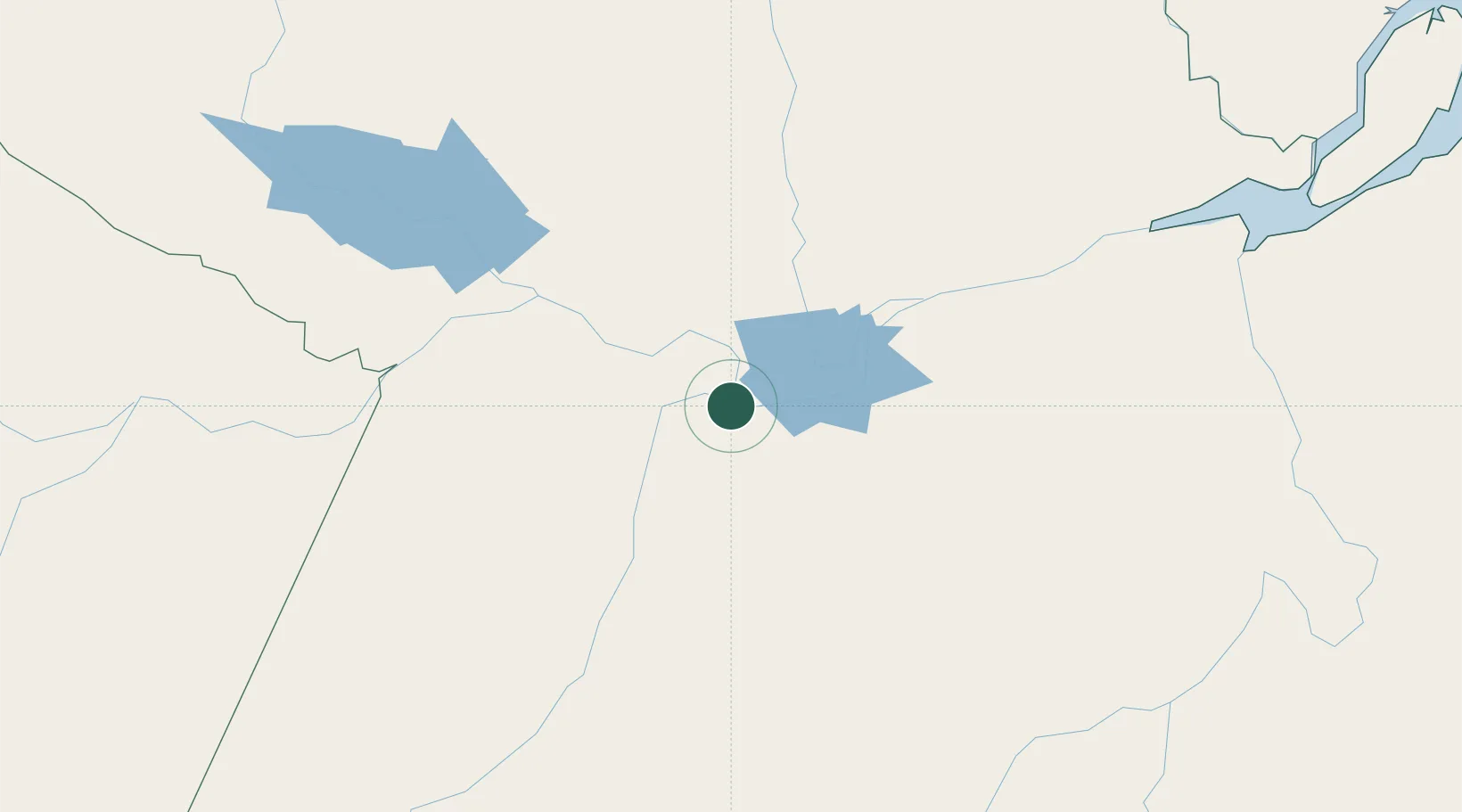
Location
Nearby Logistics Neighbours
Cities
- 1Alenquer54 km
- 2Monte Alegre87 km
- 3Óbidos106 km
- 4Oriximiná148 km
- 5Prainha156 km
Ports
- 1Itacoatiara423 km
- 2Porto Santana474 km
- 3Cameta580 km
- 4Manaus594 km
- 5Vila Do Conde670 km
Airports
- 1Santarém - Maestro Wilson Fonseca International Airport9 km
- 2Trombetas Airport215 km
- 3Itaituba Airport246 km
- 4Almeirim Airport260 km
- 5Altamira Interstate Airport288 km
Trade Zones
- 1Zona Franca de Manaus - Suframa (Manaus Free Zone)589 km
- 2ZPE de Barcarena (PA)684 km
- 3Lethem Industrial Estate860 km
- 4ZPE de Boa Vista (RR)886 km
- 5ZPE de Araguaína (TO)892 km
DatabookThe Record of Consolidated Knowledge
Brazil beyond logistics?