Channel & Berth Profile
Pilotage, Tugs & Services
Pilotage compulsoryYES
Pilotage availableYES
Pilotage advisableYES
Local assistanceYES
Tug assistanceNO
Salvage tugsNO
Potable waterYES
MedicalYES
Facilities & Capabilities
Container—
Ro-Ro—
Liquid bulk—
Dry bulk—
Oil terminal—
Break bulk—
Dry dock—
RepairsNO
BunkeringYES
Rail link—
Dangerous cargo—
ISPS security—
Harbour Specifications
Harbour size
Very Small
Harbour type
River (Natural)
Shelter
Excellent
Water body
North Atlantic Ocean
Tidal range
1 m
Overhead limit
No
Pilotage
Yes
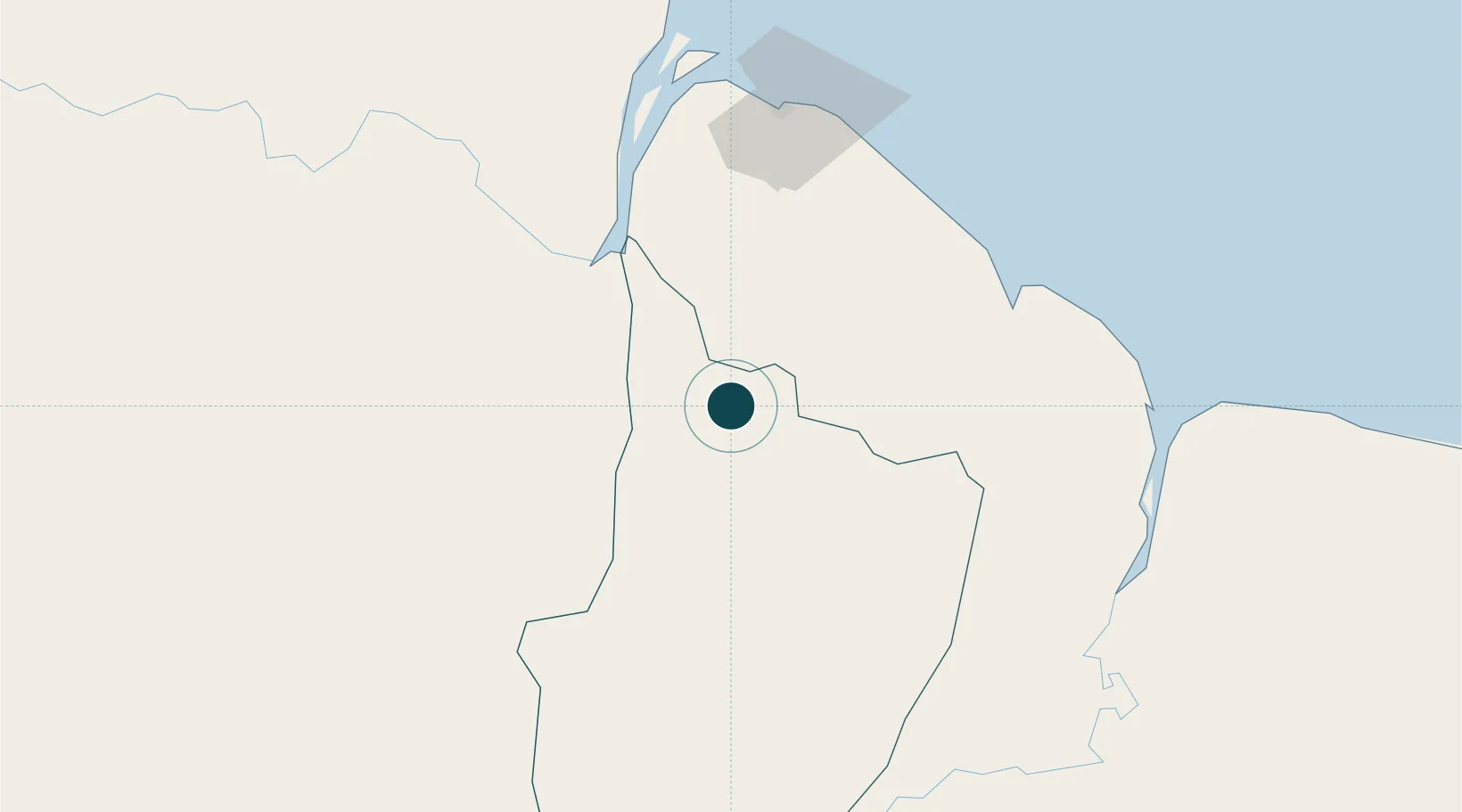
Location
Nearby Logistics Neighbours
Ports
- 1New Amsterdam91 km
- 2Georgetown94 km
- 3Nieuw Nickerie144 km
- 4Paramaribo347 km
- 5Paranam357 km
Cities
- 1Mackenzie2 km
- 2Agricola Village54 km
- 3Bartica78 km
- 4Georgetown90 km
- 5Rosignol90 km
Airports
- 1Cheddi Jagan International Airport56 km
- 2Eugene F. Correia International Airport92 km
- 3Kaieteur Airport160 km
- 4Wageningen Airstrip181 km
- 5Lethem Airport336 km
Trade Zones
DatabookThe Record of Consolidated Knowledge
Guyana beyond logistics?