Large airport · Brazil

Eduardo Gomes International AirportSBEG
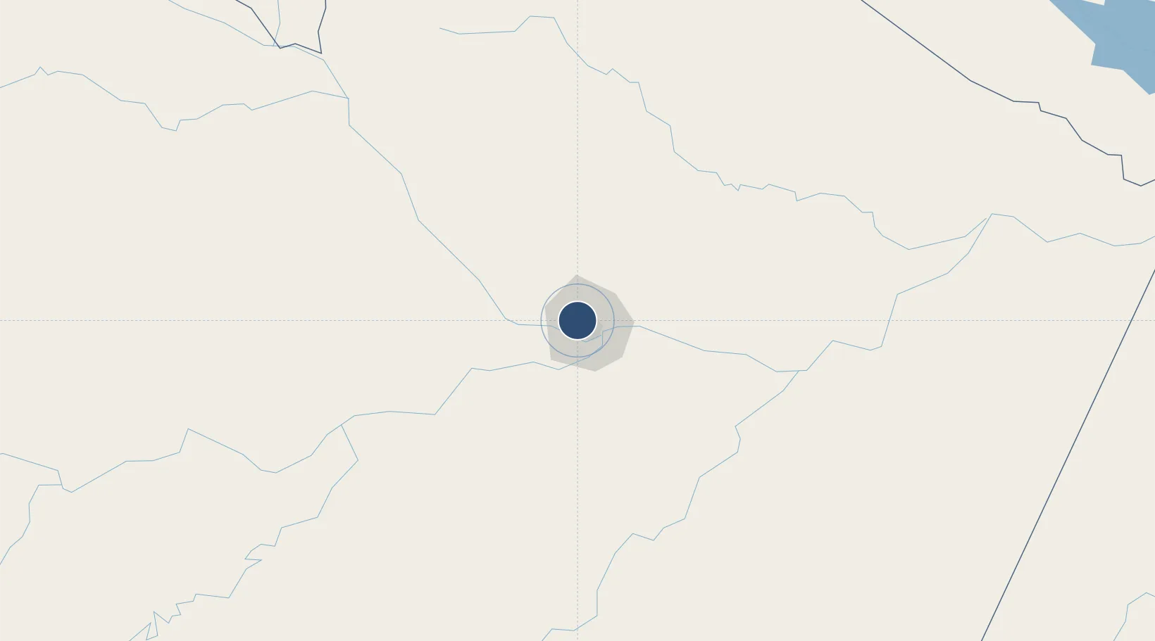
-3.0386°, -60.0497°
8,858 ft
Longest runway
1
Runways
264 ft
Elevation

Runway & Layout

Eduardo Gomes International Airport runway & taxiway layout
Runway & taxiway layout — OpenStreetMap (ODbL) / OurAirports

Radio Frequencies

ATIS
127.65 MHz
TWR
118.3 MHz
EDUARDO GOMES TWR
GND
121.9 MHz
EDUARDO GOMES GND
APP
119.7 MHz
MANAUS APP
OPS
122.5 MHz
OurAirports

Navaids

MAN NDB Manaus 340 kHz
MNS VOR-DME Manaus 115.80 MHz
OurAirports

Runways · 1

RunwayDimensions SurfaceTrue headingLit
11/29 8,858 × 148ft ASPH 71/F/C/X/T 106°
OurAirports

Airport Specifications

IATA code
MAO
OurAirports
ICAO code
SBEG
OurAirports
Airport class
Large airport
OurAirports
Scheduled service
Yes
OurAirports
Runway surface
ASPH 71/F/C/X/T
OurAirports
Served city
Manaus
OurAirports

Location

Location of SBEG
Natural Earth 10m (public domain) · Amazonas · SBEG · -3.04, -60.05GoogleOSMYandex

Nearby Logistics Neighbours

Airports
  1. 1Ponta Pelada Airport / Manaus Air Base14 km
  2. 2Borba Airport160 km
  3. 3Itacoatiara Airport174 km
  4. 4Manicoré Airport337 km
  5. 5Barcelos Airport392 km
Nearest neighbours — logibook spatial index (haversine) over the source coordinates
Cities
  1. 1Manaus12 km
  2. 2Iranduba29 km
  3. 3Careiro da Várzea31 km
  4. 4Manaquiri61 km
  5. 5Manacapuru69 km
Nearest neighbours — logibook spatial index (haversine) over the source coordinates
Ports
  1. 1Manaus11 km
  2. 2Itacoatiara178 km
  3. 3Santarem596 km
  4. 4Linden1024 km
  5. 5Porto Santana1040 km
Nearest neighbours — logibook spatial index (haversine) over the source coordinates
Trade Zones
  1. 1Zona Franca de Manaus - Suframa (Manaus Free Zone)13 km
  2. 2ZPE de Boa Vista (RR)655 km
  3. 3Lethem Industrial Estate715 km
  4. 4Free Port of Santa Elena de Uairén858 km
  5. 5Eccles Industrial Estate1111 km
Nearest neighbours — logibook spatial index (haversine) over the source coordinates
DatabookThe Record of Consolidated Knowledge
Brazil beyond logistics?
Browse databook

All Sources

AirportsOurAirports
Public domain
Portsthe NGA World Port Index
Public domain (US gov)
LocationsUN/LOCODE
UN/LOCODE — free
Trade Zonesthe World Bank SEZ database
CC BY 4.0
Trade ZonesOpen Zone Map
CC BY
InfrastructureOpenStreetMap
ODbL 1.0
← Brazil airports