Small airport · Brazil
Borba AirportSWBR
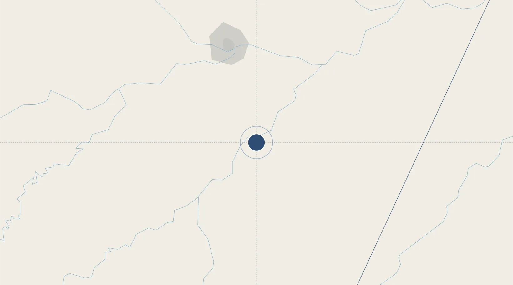
-4.4063°, -59.6024°
3,937 ft
Longest runway
1
Runways
98 ft
Elevation
Runway & Layout

Runways · 1
| Runway | Dimensions | Surface | True heading | Lit |
|---|---|---|---|---|
| 12/30 | 3,937 × 75ft | Asphalt | — | — |
Airport Specifications
IATA code
RBB
ICAO code
SWBR
Airport class
Small airport
Scheduled service
Yes
Runway surface
Asphalt
Served city
Borba
Location
Nearby Logistics Neighbours
Airports
- 1Ponta Pelada Airport / Manaus Air Base147 km
- 2Eduardo Gomes International Airport160 km
- 3Itacoatiara Airport189 km
- 4Manicoré Airport243 km
- 5Jacareacanga Airport287 km
Cities
- 1Borba3 km
- 2Nova Olinda do Norte82 km
- 3Autazes107 km
- 4Novo Aripuanã116 km
- 5Careiro da Várzea138 km
Ports
- 1Manaus149 km
- 2Itacoatiara189 km
- 3Santarem586 km
- 4Porto Santana1053 km
- 5Cameta1147 km
Trade Zones
- 1Zona Franca de Manaus - Suframa (Manaus Free Zone)148 km
- 2ZPE de Boa Vista (RR)812 km
- 3Lethem Industrial Estate867 km
- 4Free Port of Santa Elena de Uairén1016 km
- 5ZPE do Acre (AC)1082 km
DatabookThe Record of Consolidated Knowledge
Brazil beyond logistics?