Transport Functions
Port
Road
Hub Profile
Place type
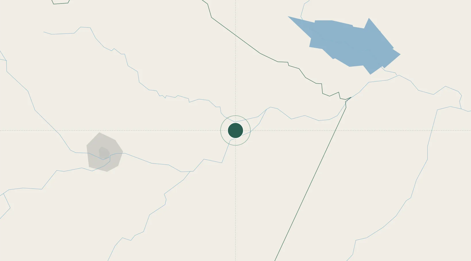
Populated place
Region
Amazonas
Population
10,805
Time zone
America/Manaus
Elevation
25 m
Location
Nearby Logistics Neighbours
Cities
- 1São Sebastião do Uatumã26 km
- 2Urucurituba46 km
- 3Boa Vista do Ramos56 km
- 4Itacoatiara63 km
- 5Maués81 km
Ports
- 1Itacoatiara66 km
- 2Manaus225 km
- 3Santarem370 km
- 4Porto Santana818 km
- 5Cameta950 km
Airports
- 1Itacoatiara Airport66 km
- 2Ponta Pelada Airport / Manaus Air Base222 km
- 3Eduardo Gomes International Airport227 km
- 4Trombetas Airport229 km
- 5Borba Airport255 km
Trade Zones
DatabookThe Record of Consolidated Knowledge
Brazil beyond logistics?