Transport Functions
Port
Road
Airport
Hub Profile
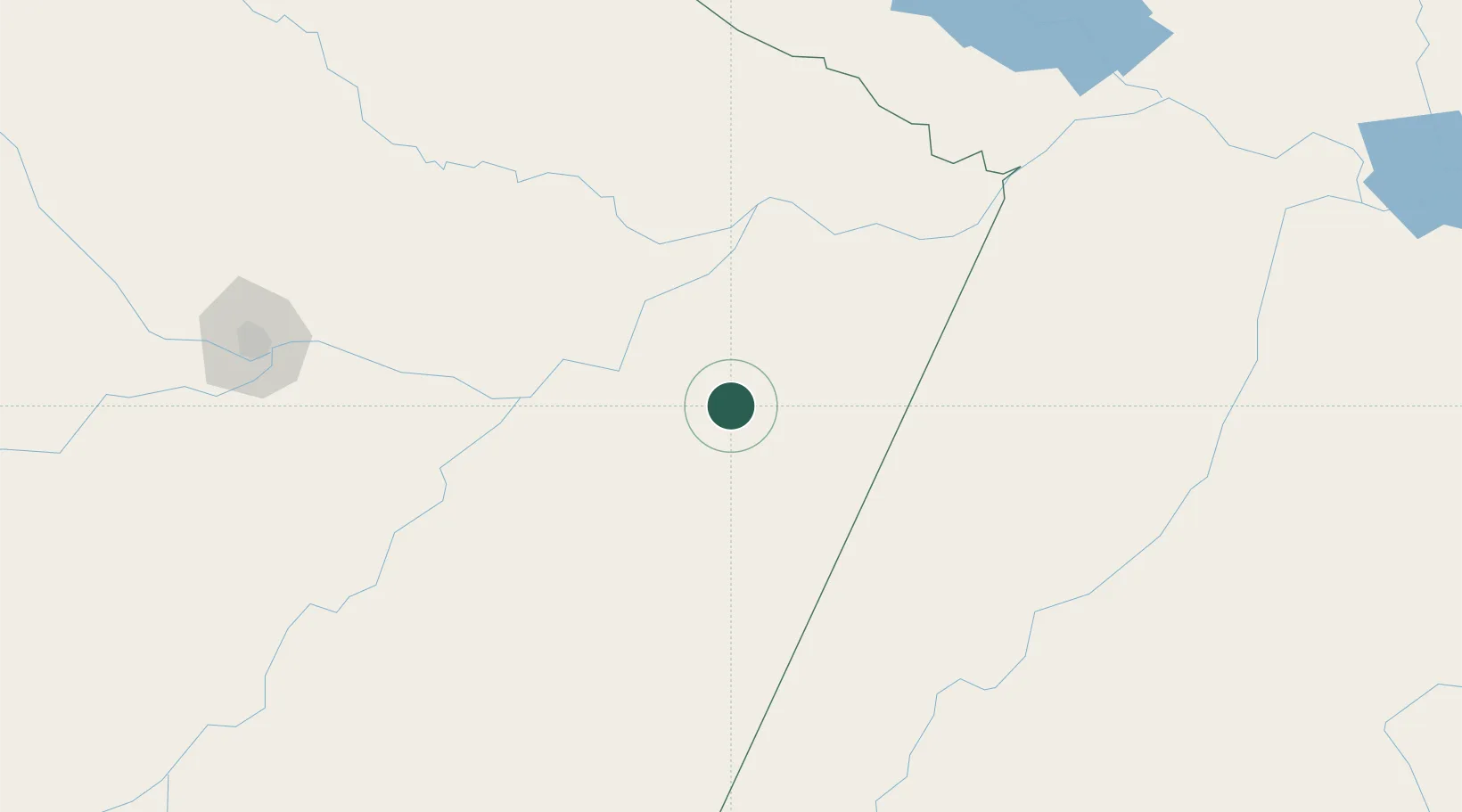
Place type
Populated place
Region
Amazonas
Population
65,714
Time zone
America/Manaus
Elevation
19 m
Location
Nearby Logistics Neighbours
Cities
- 1Boa Vista do Ramos48 km
- 2Urucurituba57 km
- 3Itapiranga81 km
- 4Itacoatiara86 km
- 5São Sebastião do Uatumã93 km
Ports
- 1Itacoatiara87 km
- 2Manaus259 km
- 3Santarem348 km
- 4Porto Santana814 km
- 5Cameta919 km
Airports
- 1Itacoatiara Airport91 km
- 2Itaituba Airport211 km
- 3Borba Airport240 km
- 4Ponta Pelada Airport / Manaus Air Base255 km
- 5Trombetas Airport256 km
Trade Zones
DatabookThe Record of Consolidated Knowledge
Brazil beyond logistics?