Medium airport · Brazil

Ponta Pelada Airport / Manaus Air BaseSBMN
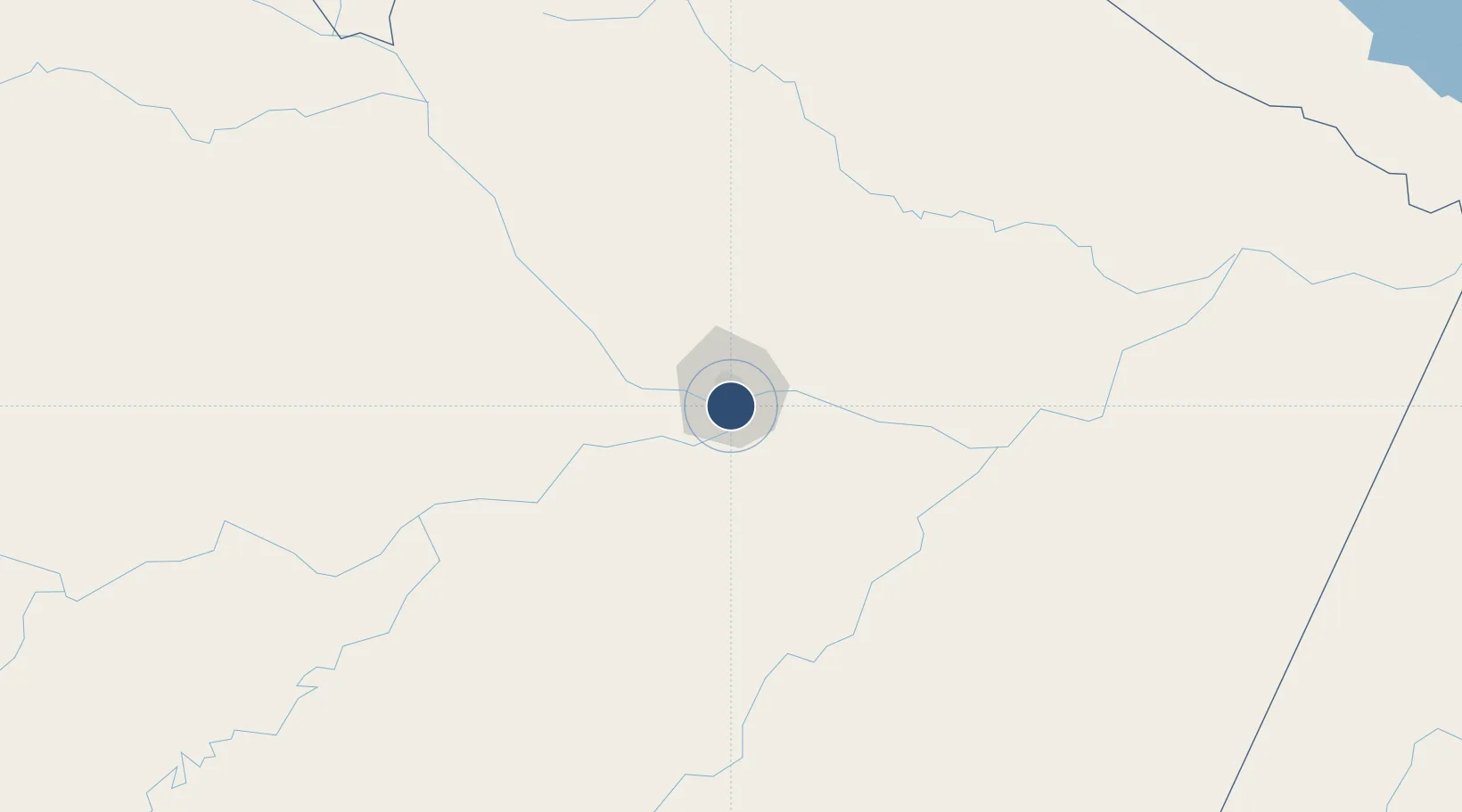
-3.1460°, -59.9863°
7,119 ft
Longest runway
1
Runways
267 ft
Elevation

Runway & Layout

Ponta Pelada Airport / Manaus Air Base runway & taxiway layout
Runway & taxiway layout — OpenStreetMap (ODbL) / OurAirports

Radio Frequencies

ATIS
127.65 MHz
TWR
118.1 MHz
MANAUS TWR
APP
119.7 MHz
MANAUS APP
OurAirports

Navaids

PEL NDB Pelada 410 kHz
OurAirports

Runways · 1

RunwayDimensions SurfaceTrue headingLit
9/27 7,119 × 148ft Asphalt
OurAirports

Airport Specifications

IATA code
PLL
OurAirports
ICAO code
SBMN
OurAirports
Airport class
Medium airport
OurAirports
Scheduled service
No
OurAirports
Runway surface
Asphalt
OurAirports
Served city
Manaus
OurAirports

Location

Location of SBMN
Natural Earth 10m (public domain) · Amazonas · SBMN · -3.15, -59.99GoogleOSMYandex

Nearby Logistics Neighbours

Airports
  1. 1Eduardo Gomes International Airport14 km
  2. 2Borba Airport147 km
  3. 3Itacoatiara Airport167 km
  4. 4Manicoré Airport329 km
  5. 5Barcelos Airport405 km
Nearest neighbours — logibook spatial index (haversine) over the source coordinates
Cities
  1. 1Manaus3 km
  2. 2Careiro da Várzea19 km
  3. 3Iranduba26 km
  4. 4Manaquiri60 km
  5. 5Manacapuru72 km
Nearest neighbours — logibook spatial index (haversine) over the source coordinates
Ports
  1. 1Manaus4 km
  2. 2Itacoatiara171 km
  3. 3Santarem591 km
  4. 4Linden1034 km
  5. 5Porto Santana1037 km
Nearest neighbours — logibook spatial index (haversine) over the source coordinates
Trade Zones
  1. 1Zona Franca de Manaus - Suframa (Manaus Free Zone)2 km
  2. 2ZPE de Boa Vista (RR)667 km
  3. 3Lethem Industrial Estate727 km
  4. 4Free Port of Santa Elena de Uairén871 km
  5. 5Eccles Industrial Estate1121 km
Nearest neighbours — logibook spatial index (haversine) over the source coordinates
DatabookThe Record of Consolidated Knowledge
Brazil beyond logistics?
Browse databook

All Sources

AirportsOurAirports
Public domain
Portsthe NGA World Port Index
Public domain (US gov)
LocationsUN/LOCODE
UN/LOCODE — free
Trade Zonesthe World Bank SEZ database
CC BY 4.0
Trade ZonesOpen Zone Map
CC BY
InfrastructureOpenStreetMap
ODbL 1.0
← Brazil airports