Transport Functions
Port
Road
Hub Profile
Place type
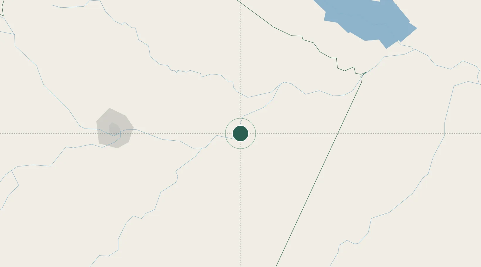
Populated place
Region
Amazonas
Time zone
America/Manaus
Elevation
35 m
Location
Nearby Logistics Neighbours
Cities
- 1Itacoatiara32 km
- 2Itapiranga46 km
- 3Maués57 km
- 4Boa Vista do Ramos66 km
- 5São Sebastião do Uatumã70 km
Ports
- 1Itacoatiara33 km
- 2Manaus207 km
- 3Santarem390 km
- 4Porto Santana847 km
- 5Cameta966 km
Airports
- 1Itacoatiara Airport37 km
- 2Ponta Pelada Airport / Manaus Air Base204 km
- 3Eduardo Gomes International Airport211 km
- 4Borba Airport215 km
- 5Trombetas Airport267 km
Trade Zones
DatabookThe Record of Consolidated Knowledge
Brazil beyond logistics?