Medium airport · Brazil

Itacoatiara AirportSBIC
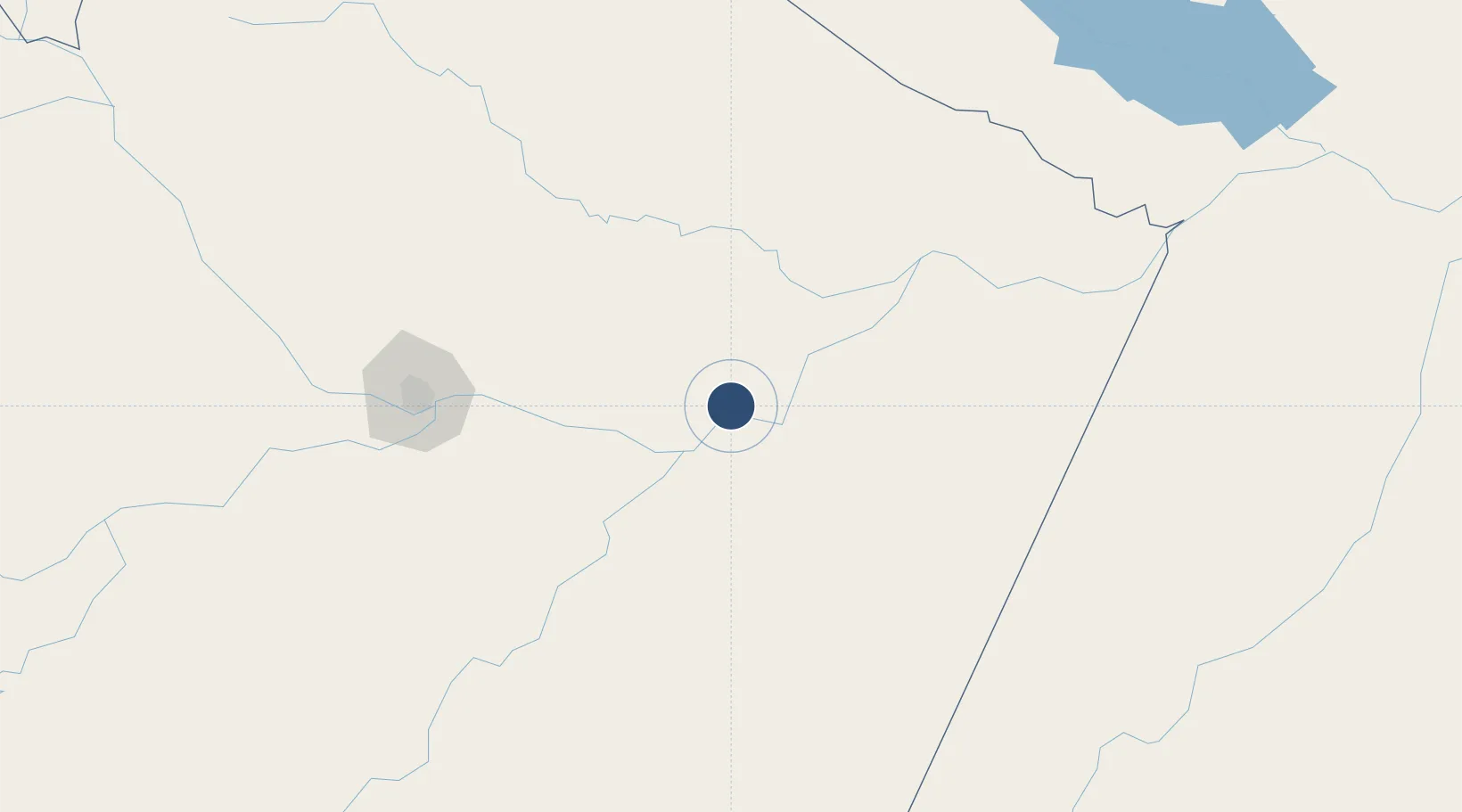
-3.1265°, -58.4817°
4,970 ft
Longest runway
1
Runways
142 ft
Elevation

Runway & Layout

Itacoatiara Airport runway & taxiway layout
Runway & taxiway layout — OpenStreetMap (ODbL) / OurAirports

Radio Frequencies

AFIS
126.6 MHz
RDO
OurAirports

Navaids

YTC NDB Itacoatiara 320 kHz
OurAirports

Runways · 1

RunwayDimensions SurfaceTrue headingLit
14/32 4,970 × 98ft Asphalt
OurAirports

Airport Specifications

IATA code
ITA
OurAirports
ICAO code
SBIC
OurAirports
Airport class
Medium airport
OurAirports
Scheduled service
No
OurAirports
Runway surface
Asphalt
OurAirports
Served city
Itacoatiara
OurAirports

Location

Location of SBIC
Natural Earth 10m (public domain) · Amazonas · SBIC · -3.13, -58.48GoogleOSMYandex

Nearby Logistics Neighbours

Airports
  1. 1Ponta Pelada Airport / Manaus Air Base167 km
  2. 2Eduardo Gomes International Airport174 km
  3. 3Borba Airport189 km
  4. 4Trombetas Airport295 km
  5. 5Itaituba Airport302 km
Nearest neighbours — logibook spatial index (haversine) over the source coordinates
Cities
  1. 1Itacoatiara5 km
  2. 2Urucurituba37 km
  3. 3Itapiranga66 km
  4. 4Autazes87 km
  5. 5Maués91 km
Nearest neighbours — logibook spatial index (haversine) over the source coordinates
Ports
  1. 1Itacoatiara4 km
  2. 2Manaus170 km
  3. 3Santarem426 km
  4. 4Porto Santana880 km
  5. 5Cameta1002 km
Nearest neighbours — logibook spatial index (haversine) over the source coordinates
Trade Zones
  1. 1Zona Franca de Manaus - Suframa (Manaus Free Zone)166 km
  2. 2ZPE de Boa Vista (RR)705 km
  3. 3Lethem Industrial Estate739 km
  4. 4Free Port of Santa Elena de Uairén908 km
  5. 5Eccles Industrial Estate1101 km
Nearest neighbours — logibook spatial index (haversine) over the source coordinates
DatabookThe Record of Consolidated Knowledge
Brazil beyond logistics?
Browse databook

All Sources

AirportsOurAirports
Public domain
Portsthe NGA World Port Index
Public domain (US gov)
LocationsUN/LOCODE
UN/LOCODE — free
Trade Zonesthe World Bank SEZ database
CC BY 4.0
Trade ZonesOpen Zone Map
CC BY
InfrastructureOpenStreetMap
ODbL 1.0
← Brazil airports