Transport Functions
Port
Road
Airport
Hub Profile
Place type
Populated place
Region
Amazonas
Population
112,520
Time zone
America/Manaus
Elevation
19 m
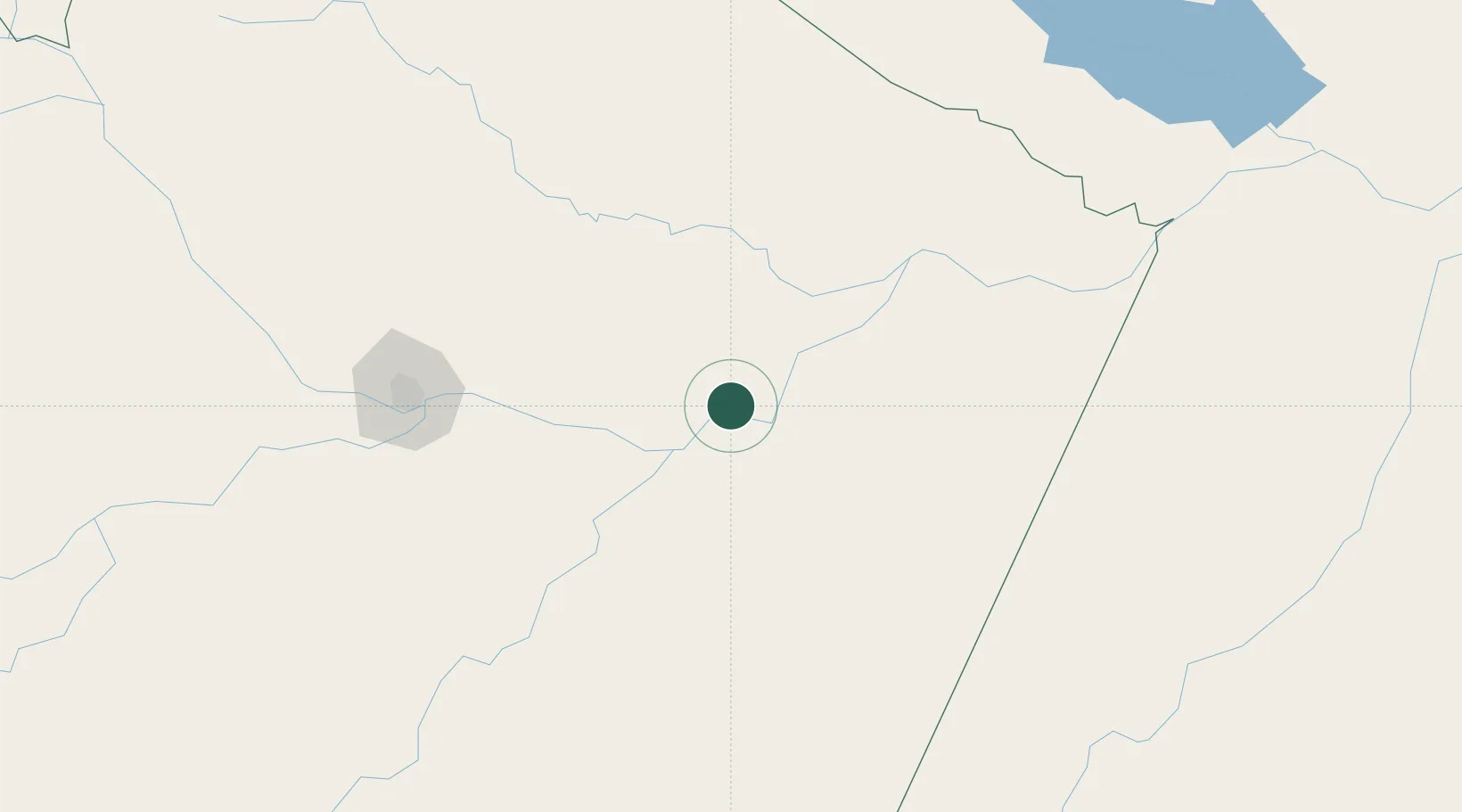
Location
Nearby Logistics Neighbours
Cities
- 1Urucurituba32 km
- 2Itapiranga63 km
- 3Maués86 km
- 4São Sebastião do Uatumã89 km
- 5Autazes91 km
Ports
- 1Manaus176 km
- 2Santarem420 km
- 3Porto Santana876 km
- 4Cameta997 km
- 5Linden1016 km
Airports
- 1Itacoatiara Airport5 km
- 2Ponta Pelada Airport / Manaus Air Base172 km
- 3Eduardo Gomes International Airport180 km
- 4Borba Airport192 km
- 5Trombetas Airport291 km
Trade Zones
DatabookThe Record of Consolidated Knowledge
Brazil beyond logistics?