Transport Functions
Port
Road
Hub Profile
Place type
Provincial seat
Region
Amazonas
Time zone
America/Manaus
Elevation
15 m
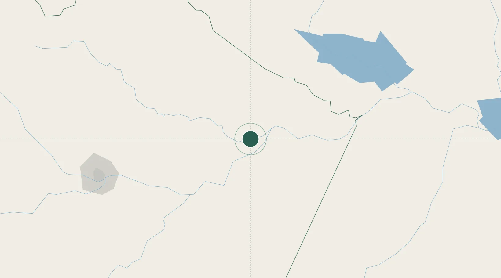
Location
Nearby Logistics Neighbours
Cities
- 1Itapiranga26 km
- 2Boa Vista do Ramos55 km
- 3Urucurituba70 km
- 4Itacoatiara89 km
- 5Barreirinha92 km
Ports
- 1Itacoatiara92 km
- 2Manaus247 km
- 3Santarem350 km
- 4Porto Santana794 km
- 5Cameta930 km
Airports
- 1Itacoatiara Airport92 km
- 2Trombetas Airport203 km
- 3Ponta Pelada Airport / Manaus Air Base244 km
- 4Eduardo Gomes International Airport248 km
- 5Itaituba Airport279 km
Trade Zones
DatabookThe Record of Consolidated Knowledge
Brazil beyond logistics?