Transport Functions
Port
Rail
Road
Hub Profile
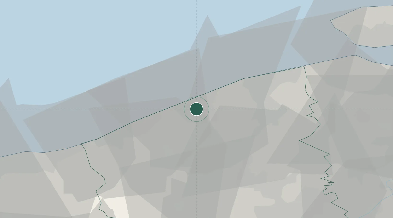
Place type
Populated place
Region
Flanders
Time zone
Europe/Brussels
Elevation
4 m
Location
Nearby Logistics Neighbours
Cities
- 1Oostende (Ostend)2 km
- 2Zandvoorde2 km
- 3Snaaskerke4 km
- 4Oudenburg5 km
- 5Leffinge7 km
Ports
- 1Oostende3 km
- 2Nieuwpoort17 km
- 3Bruges19 km
- 4Zeebrugge22 km
- 5Dunkerque Port Est45 km
Airports
Trade Zones
- 1ZFU Saint Pol sur Mer48 km
- 2ZFU Tourcoing57 km
- 3ZFU Hem et Roubaix61 km
- 4ZFU de Lille et de Loos65 km
- 5ZFU Calais83 km
DatabookThe Record of Consolidated Knowledge
Belgium beyond logistics?