Transport Functions
Port
Rail
Road
Hub Profile
Region
VWV
Logistics facilities
1
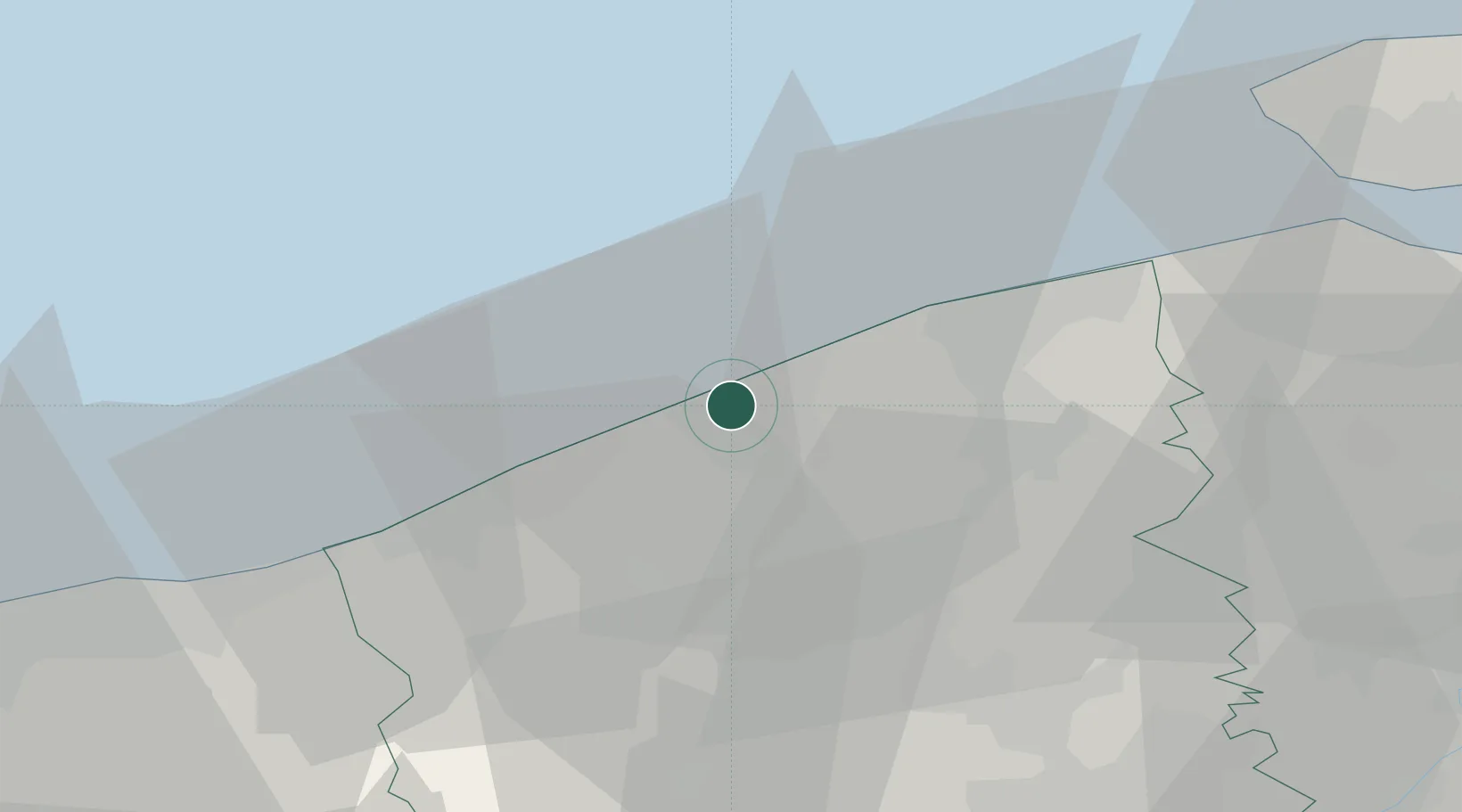
Location
Nearby Logistics Neighbours
Cities
- 1Sas-Slijkens2 km
- 2Zandvoorde4 km
- 3Snaaskerke5 km
- 4Oudenburg7 km
- 5Leffinge8 km
Ports
- 1Nieuwpoort17 km
- 2Bruges20 km
- 3Zeebrugge22 km
- 4Dunkerque Port Est44 km
- 5Vlissingen53 km
Airports
Trade Zones
- 1ZFU Saint Pol sur Mer47 km
- 2ZFU Tourcoing59 km
- 3ZFU Hem et Roubaix63 km
- 4ZFU de Lille et de Loos67 km
- 5ZFU Calais83 km
DatabookThe Record of Consolidated Knowledge
Belgium beyond logistics?